
Map showing the location of lava flows from Puʻu ʻŌʻō
By Kīlauea
Detailed Description
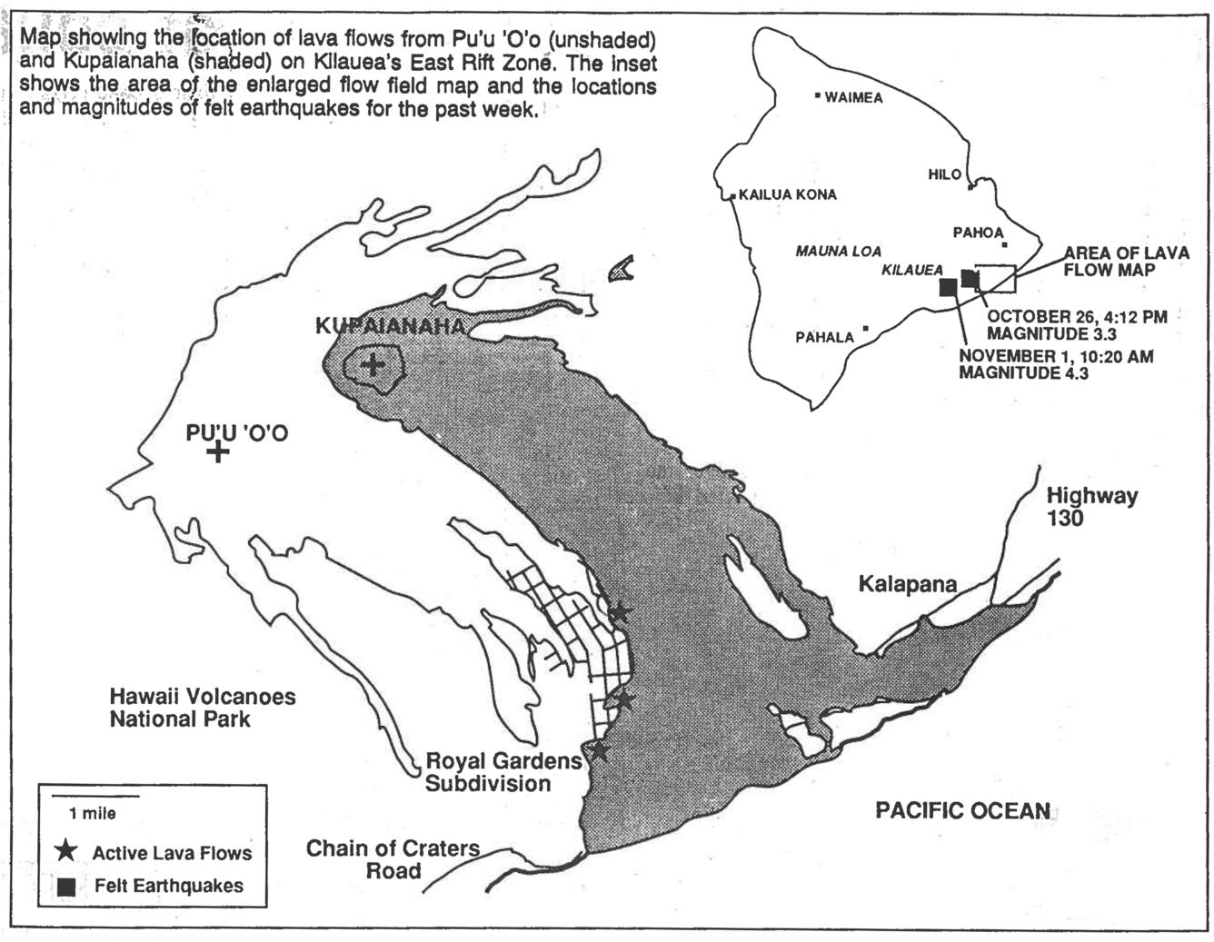
Map showing the location of lava flows from Puʻu ʻŌʻō (unshaded) and Kūpaianaha (shaded) on Kīlauea's East Rift Zone. The inset shows the area of the enlarged flow field map and the locations and magnitudes of felt earthquakes for the past week.
Sources/Usage
Public Domain.