
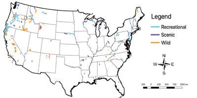
Map of Wild and Scenic Rivers as of 2018 linked to the NHDPlusV2.1
Detailed Description
These data depict the National Hydrography Dataset Plus Version 2.1 (NHDPlusV2.1) flowline representation of the National Wild and Scenic Rivers System throughout the conterminous United States as of 2018.
Sources/Usage
Public Domain.