
MapView (Beta) Interactive Web Application Screenshot
Detailed Description
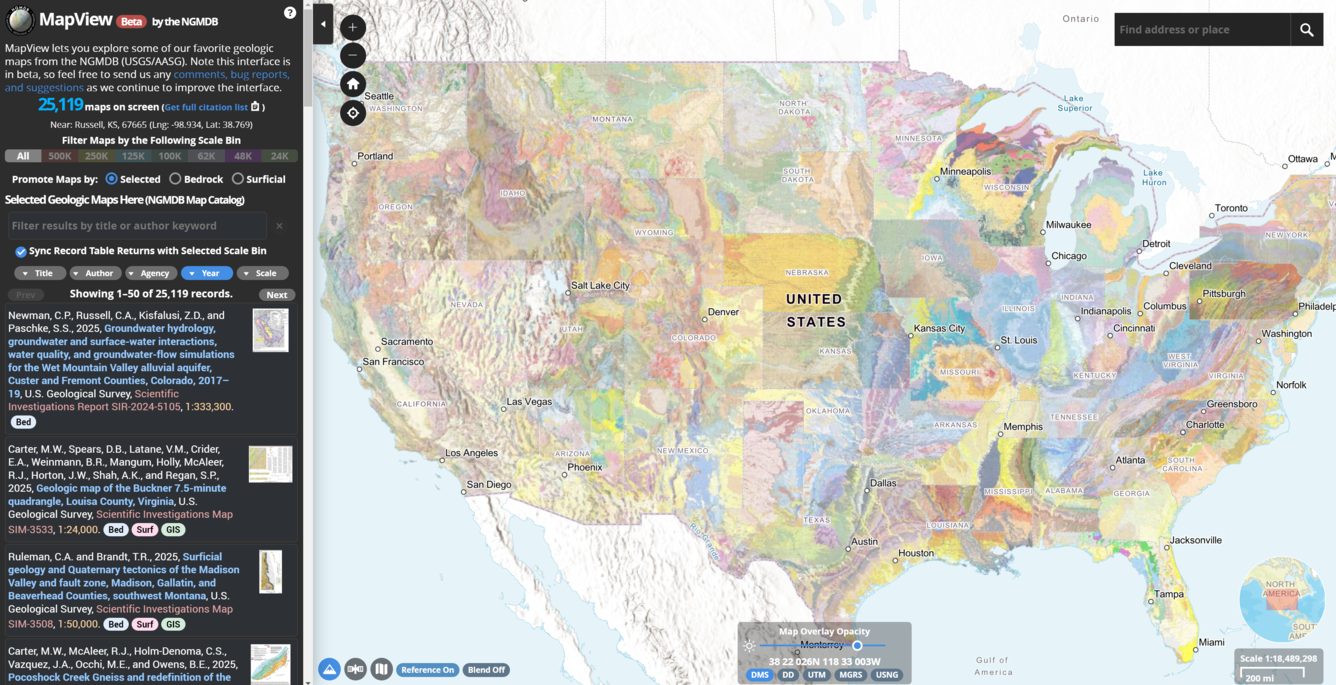
Screenshot of the new USGS MapView (beta version) interactive web mapping application by the USGS National Geologic Map Database. MapView can be accessed at https://ngmdb.usgs.gov/mapview/?center=-97,39.6&zoom=4.
This new (beta) version of mapView uses a modern codebase and a redesigned interface that incorporates many of your comments and suggestions. For mapView, USGS has selected the most recent bedrock and surficial maps of the Nation, from the entire collection in the National Geologic Map Database's (NGMDB) national archive. From links in mapView, you can find, view, and download all other maps and reports in the NGMDB (over 106,000 publications).
Updated 2/20/25 in compliance with Executive Order 14172.
Sources/Usage
Public Domain.