
Measuring Hurricane Harvey Flooding along Peach Creek
Detailed Description
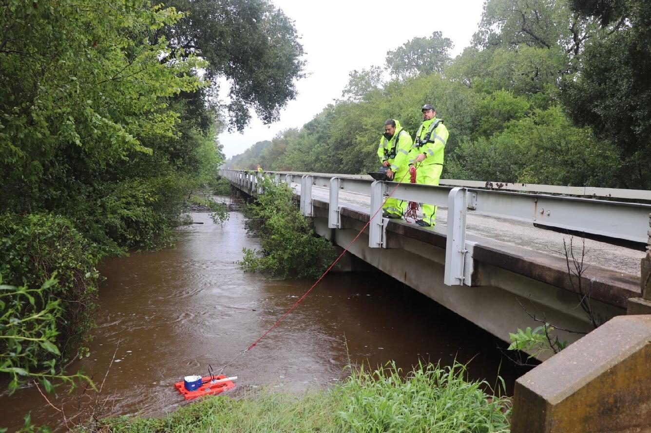
A USGS field crew, including Alec MacDonald and Rogelio Hernandez, is shown measuring floodwaters in Peach Creek at Highway 90 near Waelder, Texas.
Sources/Usage
Public Domain.
Public Domain