
[MITDcam] Kīlauea upper Southwest Rift Zone
Detailed Description
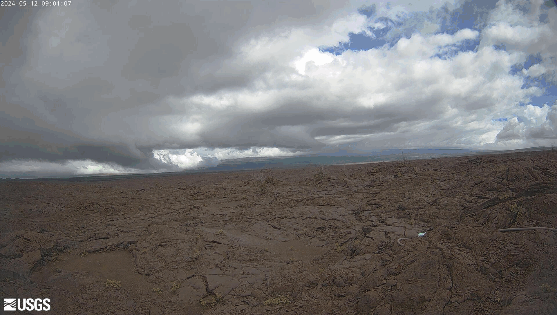
Last 24 Hours [MITDcam] - 24-hour animated gif of images taken by the MITDcam, a temporary webcam showing Kīlauea's upper Southwest Rift Zone, looking north from a seismic station in the Kaʻū Desert. Uēkahuna, the summit of Kīlauea, is visible in the distance near the right edge of the frame. Pu‘ukoa‘e is the larger of the two cinder cones near the left edge of the frame.
Disclaimer: The webcams are operational 24/7 and faithfully record the dark of night if there are no sources of incandescence or other lights. At times, clouds and rain obscure visibility. The cameras are subject to sporadic breakdown, and may not be repaired immediately. Some cameras are observing an area that is off-limits to the general public because of significant volcanic hazards.
Sources/Usage
Public Domain.