
Nearshore geophysical mapping
Detailed Description
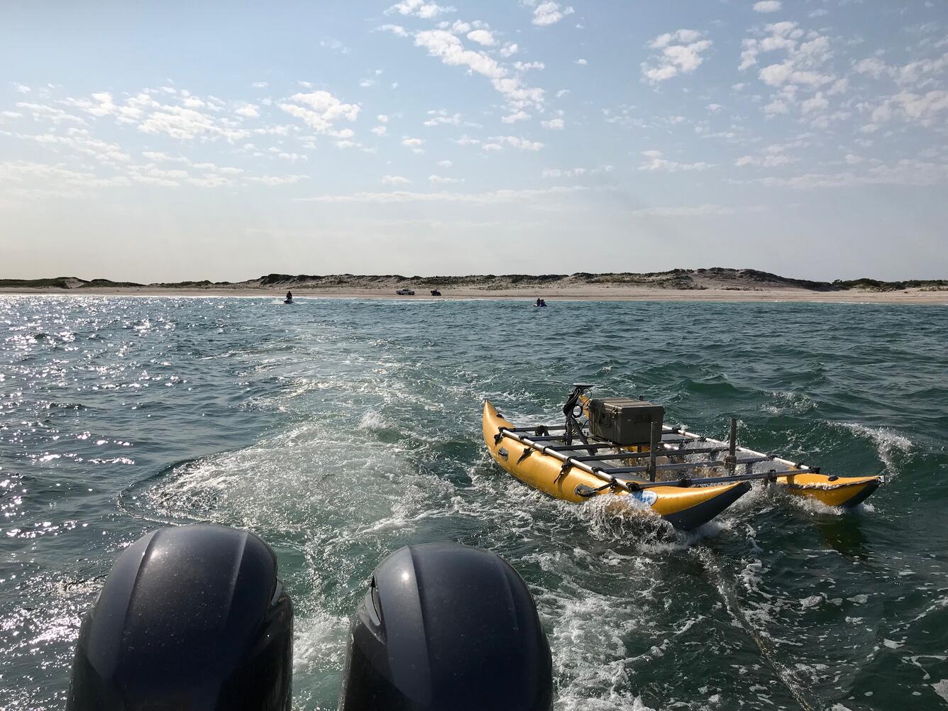
Nearshore geophysical mapping with sub-bottom sled (foreground), personal watercraft equipped with echosounders (background, water) and beach-based personnel (background, beach).
Sources/Usage
Public Domain.