
Non-orthogonal raster cells and tile edge
By NGP Standards and Specifications
January 2023 (approx.)
Detailed Description
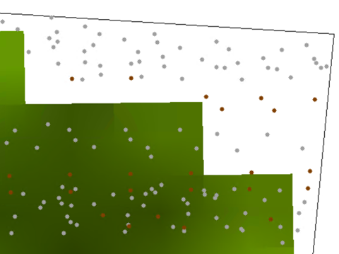
Illustration of non-orthogonality between digital elevation model (DEM) and tile edge due to reprojection. The green rectilinear area are the DEM pixels, the points are lidar returns, and the black line is the tile edge.
Sources/Usage
Public Domain.