
Oceanographic radar developed to measure real-time storm waves and water levels
Detailed Description
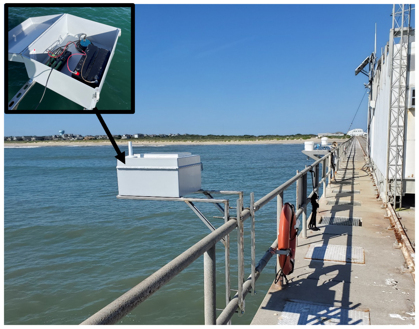
As part of the National Oceanographic Partnership Program (NOPP) Hurricane Coastal Impacts Project, the USGS developed a new oceanographic radar instrument package to measure storm waves and water levels in the nearshore. A non-contact oceanographic radar sensor, data logger, cellular modem, and an external battery are housed inside a water-tight box, with a cellular antenna and solar panel affixed on the outside of the lid. The package is capable of being deployed rapidly from over-water infrastructure and transmitting data in near real-time. To test the performance and accuracy of the sensor, multiple years of data were collected over various hydrodynamic conditions and compared to long-term monitoring data collected at the U.S. Army Corps of Engineers (USACE) Field Research Facility in Duck, North Carolina, USA, including a National Oceanic and Atmospheric Administration (NOAA) tide gauge (Station 8651370).
Sources/Usage
Public Domain.