
Queensland Australia Landsat 8-Landsat 9 Underfly Images
Detailed Description
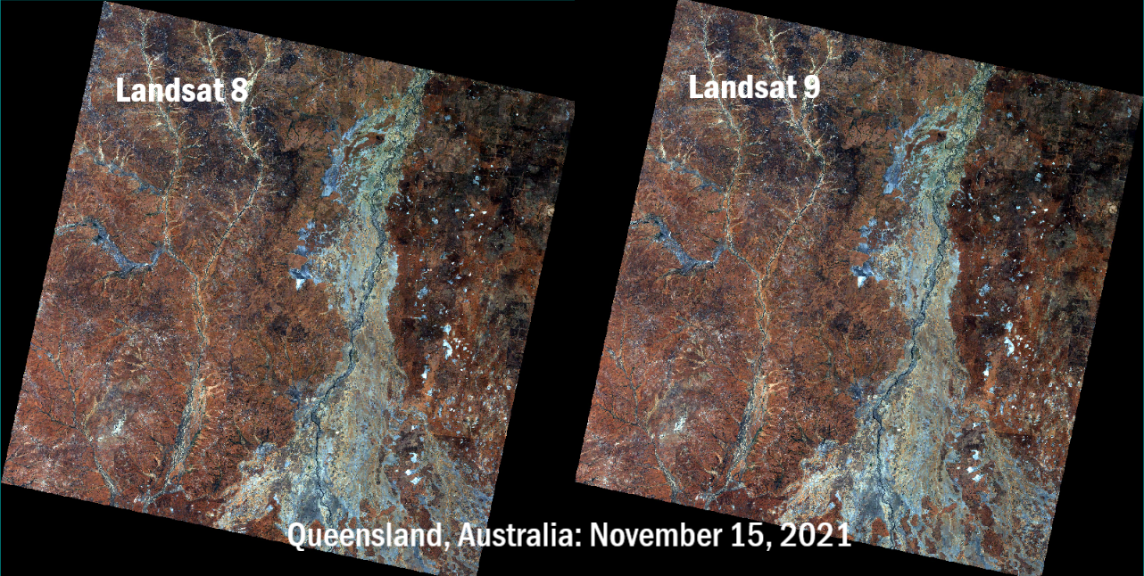
These images of an area in south central Queensland, Australia were acquired by the instruments onboard both Landsat 8 and Landsat 9 on November 15, 2021, as Landsat 9 flew beneath Landsat 8 as the satellite continued its climb to nominal orbital altitude. The underfly allowed calibration experts to compare measurements collected by the instruments on both satellites to ensure data quality continuity. This underfly activity took place from November 12-16, 2021, and collected 2,396 images.
- Path 94 Row 79
- November 15, 2021
Visit the Landsat Mission Underfly Opportunities webpage for more details about satellite underfly activities.
Sources/Usage
Public Domain.