
San Diego Trough fault
Detailed Description
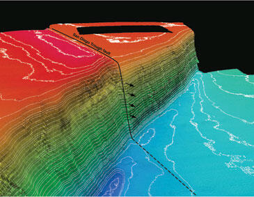
Perspective map of a section of the seafloor off southern California, made with depth data. The map shows a channel wall that has been cut by the San Diego Trough fault and moved about 20 meters. This feature is about 1,000 meters below sea level.
Sources/Usage
Public Domain.