Searles Valley Earthquake field photo #6
Detailed Description
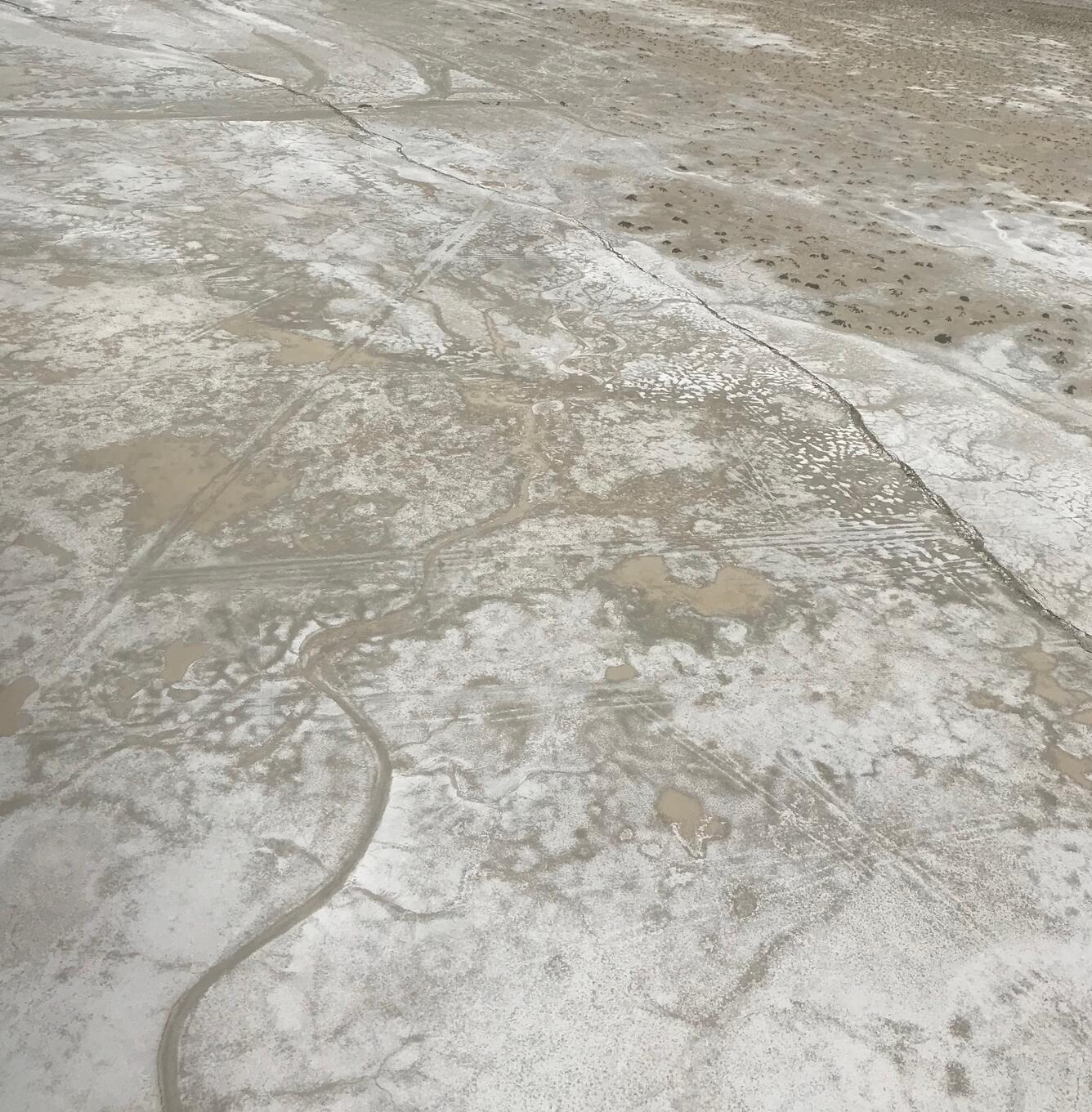
Aerial view shot from Blackhawk helicopter overflight on July 6 of the zone of high surface displacement.
Sources/Usage
Public Domain.

Official websites use .gov
A .gov website belongs to an official government organization in the United States.
Secure .gov websites use HTTPS
A lock () or https:// means you’ve safely connected to the .gov website. Share sensitive information only on official, secure websites.
Aerial view shot from Blackhawk helicopter overflight on July 6 of the zone of high surface displacement.
Public Domain.