Shriveled and Cracked

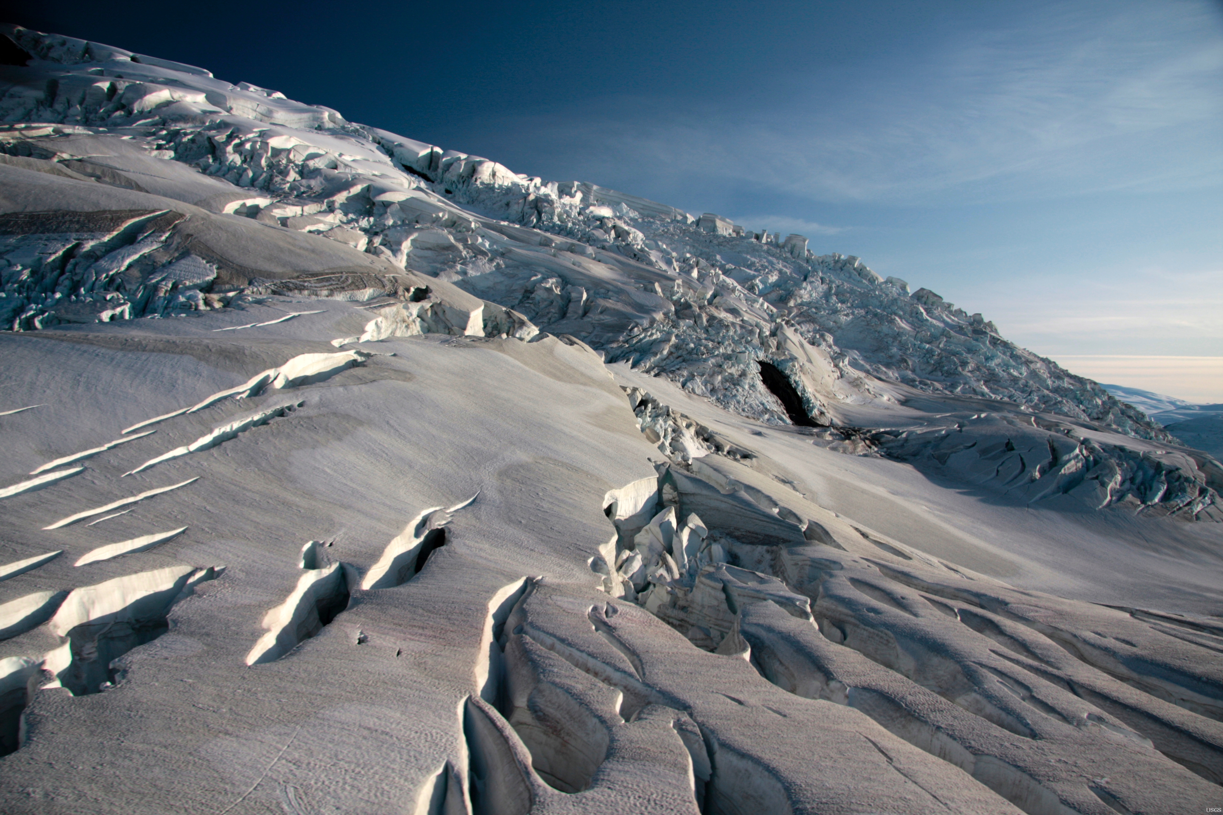
Detailed Description
When USGS mapped the glaciers in Icy Bay in the 1950s, the glacier in this image was flat and hundreds of meters thick. Bedrock is emerging as Guyot retreats very rapidly.
Sources/Usage
Public Domain.

Official websites use .gov
A .gov website belongs to an official government organization in the United States.
Secure .gov websites use HTTPS
A lock () or https:// means you’ve safely connected to the .gov website. Share sensitive information only on official, secure websites.
When USGS mapped the glaciers in Icy Bay in the 1950s, the glacier in this image was flat and hundreds of meters thick. Bedrock is emerging as Guyot retreats very rapidly.
Public Domain.