
Siberian Smoke Reaches U.S., Canada
Detailed Description
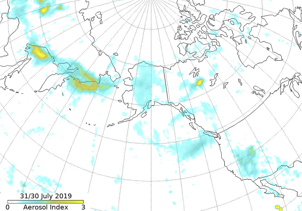
Map view of Alaska, Siberia, western US, and north Pacific showing aerosol index measured 0 to 5.
Smoke from Siberian fires traveling towards Alaska. This satellite image was collected by NASA/NOAA Suomi National Polar-orbiting Partnership (S-NPP) on July 29 (U.S. half) and July 30 (Siberian half), 2019. The red points in Siberia and Alaska denote actively burning fires. Image Courtesy: NASA Worldview, Earth Observing System Data and Information System (EOSDIS).
Full caption can be found on NASA website.
Sources/Usage
Public Domain.
NASA