
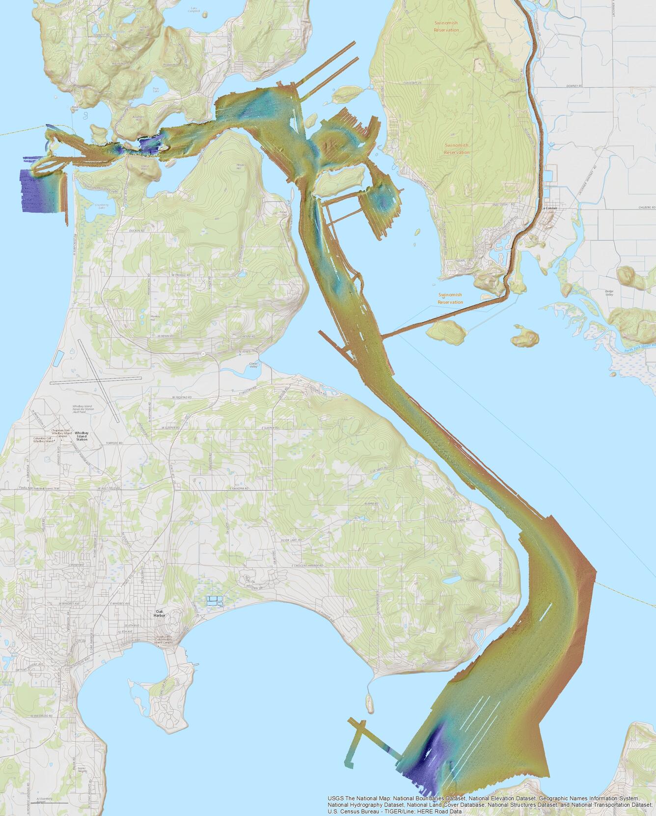
Skagit Bay bathymetry
Detailed Description
Skagit Bay bathymetry
Sources/Usage
Public Domain.
USGS Data Release
Grossman, E.E., Dartnell, Peter, and Finlayson, D.P., 2018, High-resolution bathymetry and acoustic-backscatter data collected in 2004, 2005, 2007, and 2010 in Skagit Bay, Washington: U.S. Geological Survey data release, https://doi.org/10.5066/F7JM27VN.