Souris River Flooding
Detailed Description
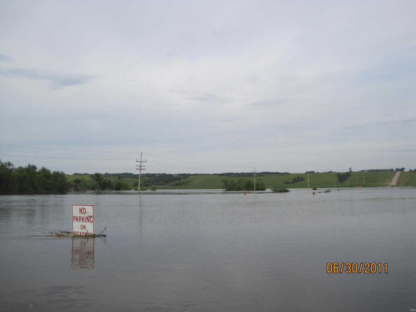
The Souris River near Foxholm, North Dakota. USGS personnel were there to measure the streamflow. Streamflow was approximately 18,600 cubic feet per second.
Sources/Usage
Public Domain.

Official websites use .gov
A .gov website belongs to an official government organization in the United States.
Secure .gov websites use HTTPS
A lock () or https:// means you’ve safely connected to the .gov website. Share sensitive information only on official, secure websites.
The Souris River near Foxholm, North Dakota. USGS personnel were there to measure the streamflow. Streamflow was approximately 18,600 cubic feet per second.
Public Domain.