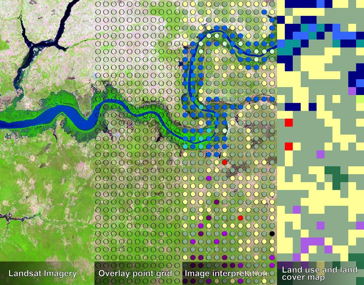
Steps in making a land use and land cover map using the RLCM Tool

Detailed Description
Steps in making a land use and land cover map using the RLCM Tool; 1) selecting imagery, 2) overlaying a grid of points, 3) interpreting and attributing, and 4) making land use and land cover map.
Sources/Usage
Public Domain.


