sUAS at Darby Creek Superfund Site
Detailed Description
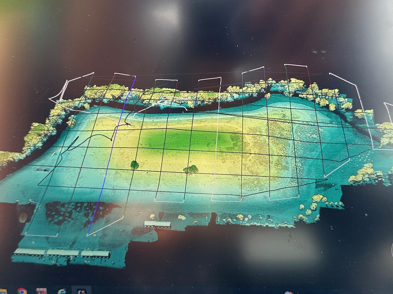
A preliminary elevation model created by flying sUAS with a lidar scanner over the ClearView landfill.
Sources/Usage
Public Domain.

Official websites use .gov
A .gov website belongs to an official government organization in the United States.
Secure .gov websites use HTTPS
A lock () or https:// means you’ve safely connected to the .gov website. Share sensitive information only on official, secure websites.
A preliminary elevation model created by flying sUAS with a lidar scanner over the ClearView landfill.
Public Domain.