
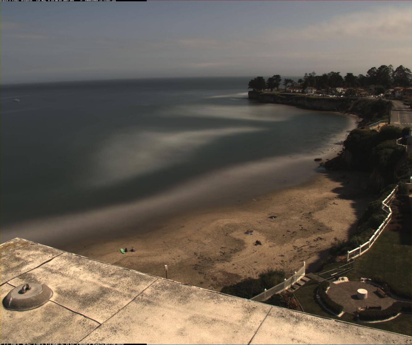
Time-averaged image from video of beach in Santa Cruz, California
Detailed Description
Time-averaged image, or “timex,” created by averaging the intensity of light recorded at each spot, or “pixel,” during a 10-minute video taken at Santa Cruz, California, on May 6, 2017. Blurred white zones show where waves are breaking. Line between wet and dry sand shows the maximum height on the beach reached by the waves (“runup”). Researchers at the USGS are using these and other video images to improve understanding and computer modeling of beach processes, especially those that change the coast. Check out the half-hourly images, posted online during daylight hours. See also, the “snapshot” or first frame of this beach video.
Sources/Usage
Public Domain.