
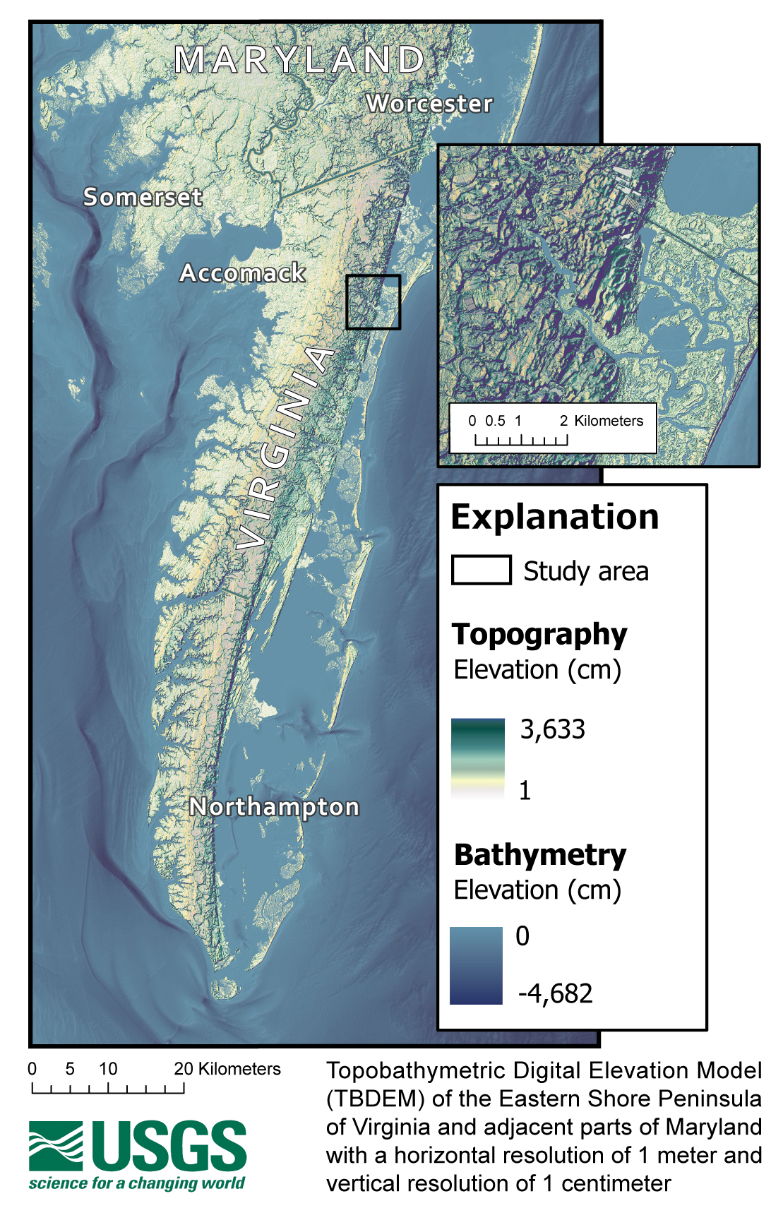
Topobathymetric Digital Elevation Model of the Eastern Shore, Virginia
By Virginia and West Virginia Water Science Center
2019 (approx.)

Detailed Description
Topobathymetric Digital Elevation Model (TBDEM) of the Eastern Shore Peninsula of Virginia and adjacent parts of Maryland with a horizontal resolution of 1 meter and vertical resolution of 1 centimeter.
Sources/Usage
Public Domain.