
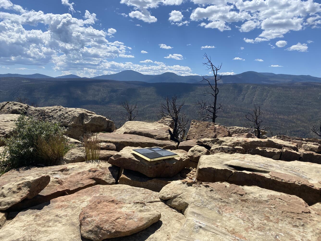
UAS ground control point survey targets deployed along the Cimarron Canyon in New Mexico
Detailed Description
UAS ground control point survey targets deployed along the Cimarron Canyon in New Mexico
One of the ground control point survey targets deployed along the Paleocene Poison Canyon Formation in the Cimarron Canyon and used to provide accurate GPS data during the UAS data collection flights.
NUSO researchers worked with USGS geologists in September 2021 to establish and test unique photogrammetric data collection techniques utilizing UAS along the Paleocene Poison Canyon Formation in the Cimarron Canyon.
Sources/Usage
Public Domain.