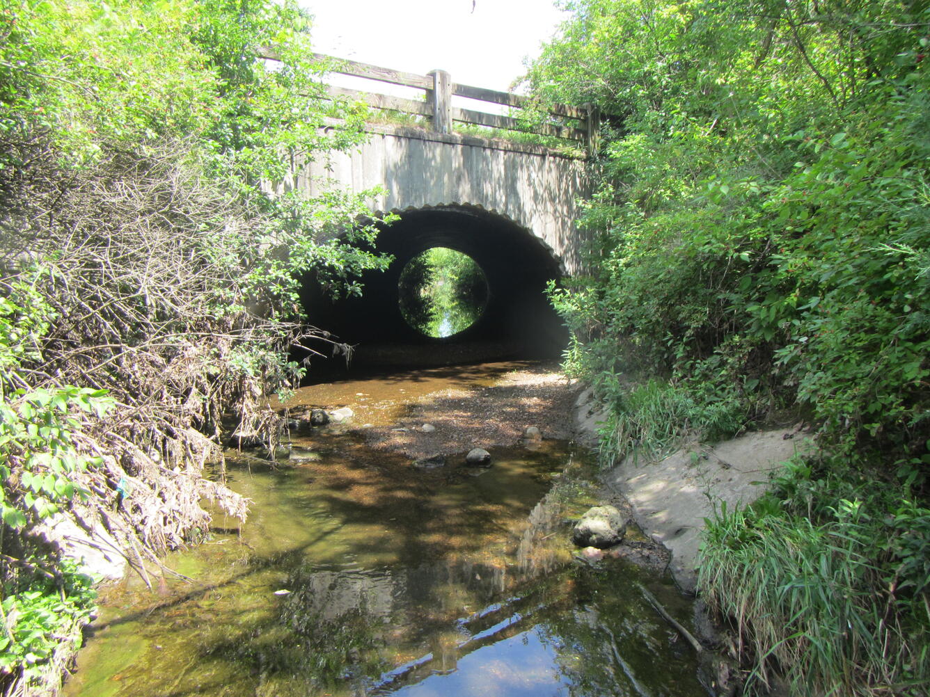
Underwood Creek Tributary near Oak Leaf Trail at West Allis, Wisconsin
Detailed Description
Looking upstream Underwood Creek Tributary near Oak Leaf Trail at West Allis, Wisconsin, during summer. https://waterdata.usgs.gov/monitoring-location/0408708573/
Sources/Usage
Public Domain.
Related
Below is science associated with this image.
MMSD Watercourse Corridor Study: Continuous Real-Time Streamflow
The MMSD Watercourse Corridor Study supports seven USGS streamflow gages on Milwaukee-area streams that measure real-time discharge and gage height; five of these sites also collect time-lapse videos.
MMSD Watercourse Corridor Study: Contaminants in Water and Sediment
There are many kinds of chemical, physical, and biological contaminants contained in water and sediment, and new or “emerging” contaminants are continually being discovered. USGS investigations of contaminants in the MMSD Watercourse Corridor Study include studies of PFAS, PAHs, microplastics, and wastewater contamination as well as modeling long-term trends in water quality.
MMSD Watercourse Corridor Study: Geomorphology and Sediment Studies Related to Stream and Estuary Rehabilitation
Geomorphology and habitat studies related to stream and estuary rehabilitation consist of three subproject areas: evaluating the efficacy of fish passage restoration efforts (across multiple watersheds), a targeted assessment of fish passage in the Underwood Creek watershed, and characterization of the Milwaukee River estuary.
MMSD Watercourse Corridor Study: Ecological Assessments and Trends
Changes in streams that result from urban development such as loss of stream habitat, inadequate or flashy streamflow, and degraded water quality can adversely affect communities of aquatic organisms. MMSD Watercourse Corridor Study ecological assessments evaluate water quality over time by pairing community assessments of aquatic organisms with chemical assessments from passive samplers, as well...
Milwaukee Metropolitan Sewerage District (MMSD) Watercourse Corridor Study
Since 2000, the USGS and MMSD have been partners in the Milwaukee Area Watercourse Corridor Study. The USGS has applied a multi-disciplinary approach to monitor and assess stream water quality within studies of aquatic communities, geomorphology and habitat, water and sediment, and streamflow. Results are provided to MMSD and watershed management agencies for planning and decision-making.


