
Upper Mississippi River Basin Land Use and Cover
By Land Change Science Program
2016 (approx.)
Detailed Description
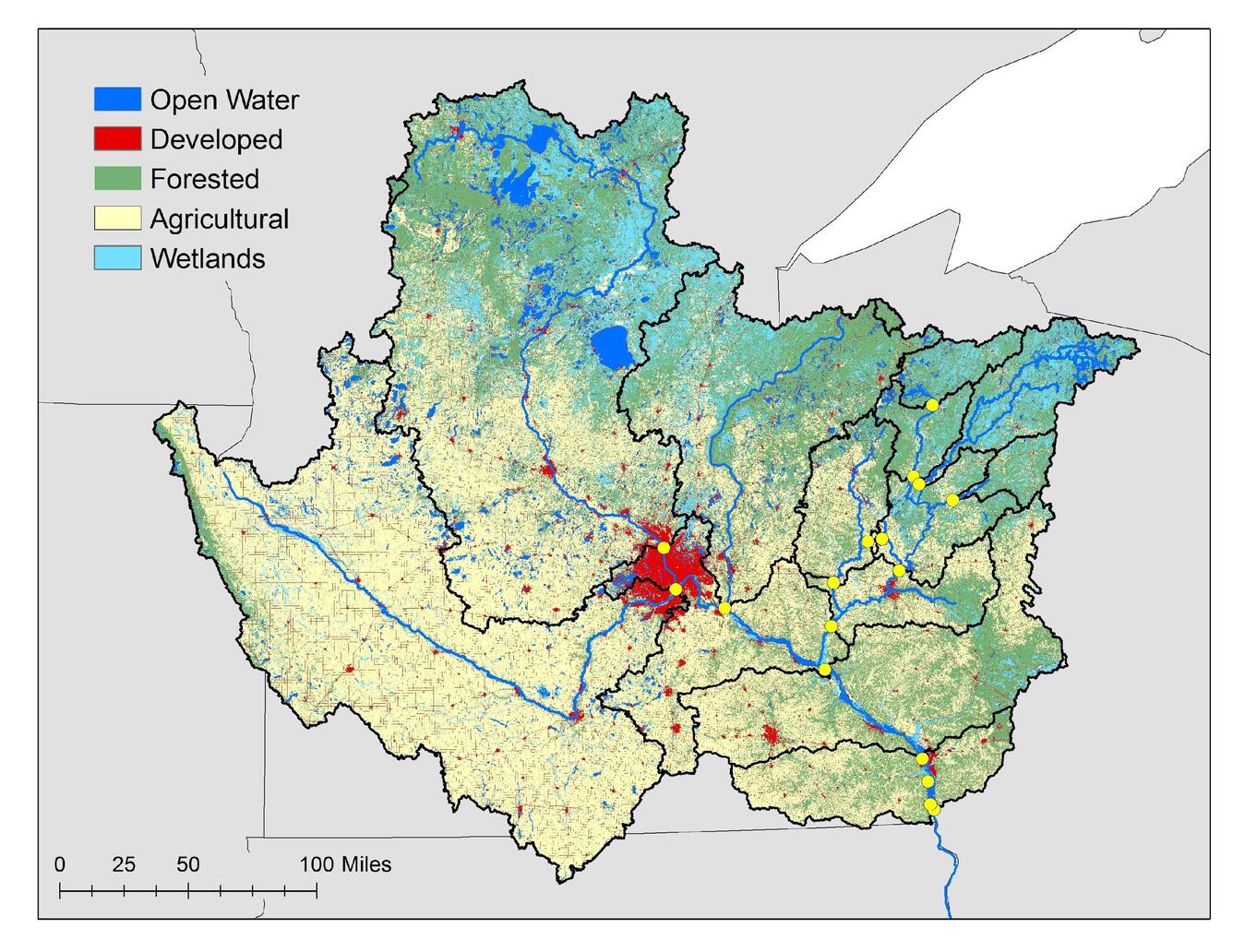
Figure 1b. Upper Mississippi River Basin land cover and land use. Yellow dots are 2015-17 study sampling locations. Creator: Britta Voss, 2016.
Sources/Usage
Public Domain.