
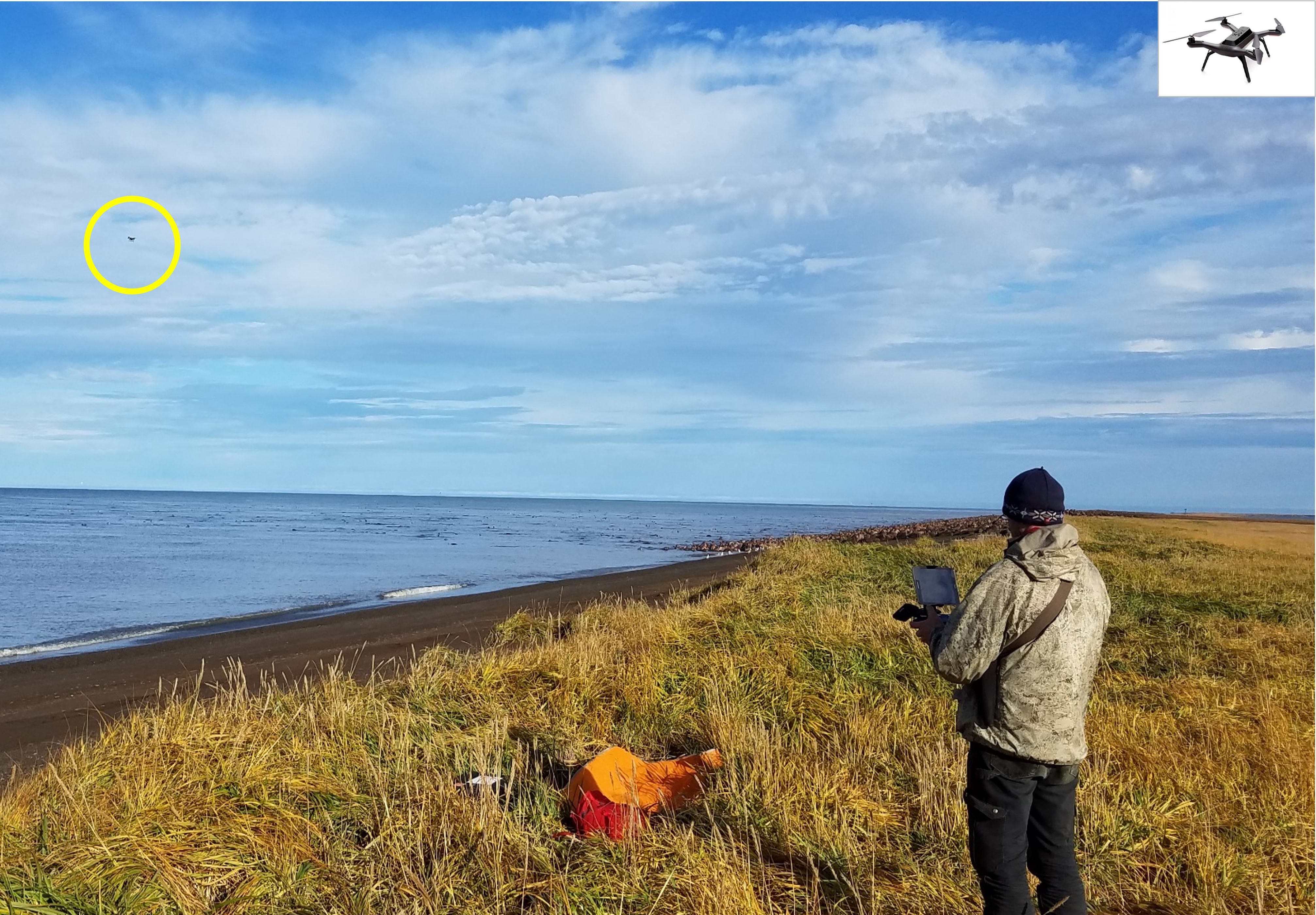
USGS biologist using survey drone to survey walrus
By Alaska Science Center
2018 (approx.)

Detailed Description
USGS uses survey drones, which are also termed “unoccupied aerial systems” or UAS, to survey walruses resting on shore. Use of these small survey drones enables collection of replicated surveys with minimal risk to walruses and humans. Being able to collect numerous replicate surveys enables precise estimates of walrus population abundance when these surveys are coupled with radio telemetry data indicating the proportion of walruses that are resting onshore and available to be surveyed.
Sources/Usage
Public Domain.