
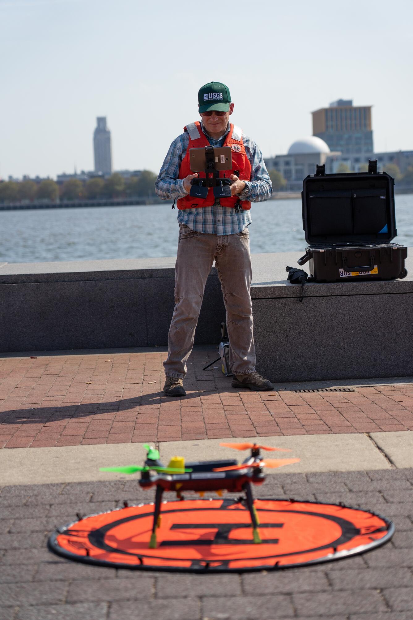
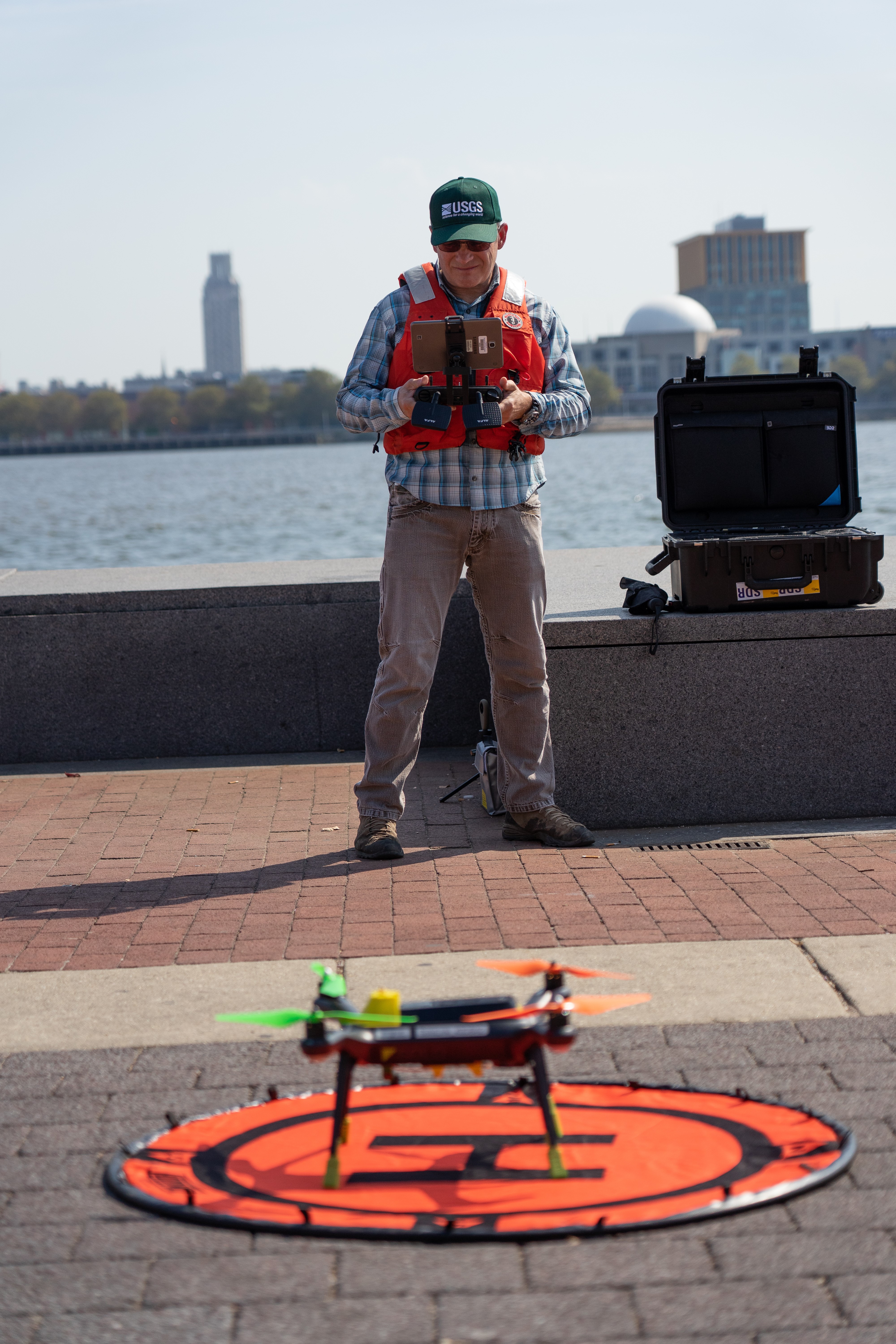
USGS employee prepares unmanned aerial vehicle for takeoff
By Water Resources Mission Area
2019 (approx.)
Detailed Description
USGS employee John Fulton prepares an unmanned aerial vehicle for take off. This particular drone referred to as "Q-Cam" measures surface water stream velocity. Combined with a second drone, non-contact discharge measurements can be made. This technology is part of the USGS Next Generation Water Observing System in the Delaware River Basin.
Sources/Usage
Public Domain.