
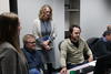
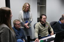
USGS EROS Scientists at LCMAP workshop

Detailed Description
USGS Earth Resources Observation and Science (EROS) Center scientists Heather Tollerud, Terry Sohl, Jennifer Rover and Jon Dewitz use the LCMAP Timeseries Analysis and Plotting Tool (TAPTool) during a November 2018 workshop on Land Change Monitoring, Assessment, and Projection in Sioux Falls, SD.
Sources/Usage
Public Domain.