
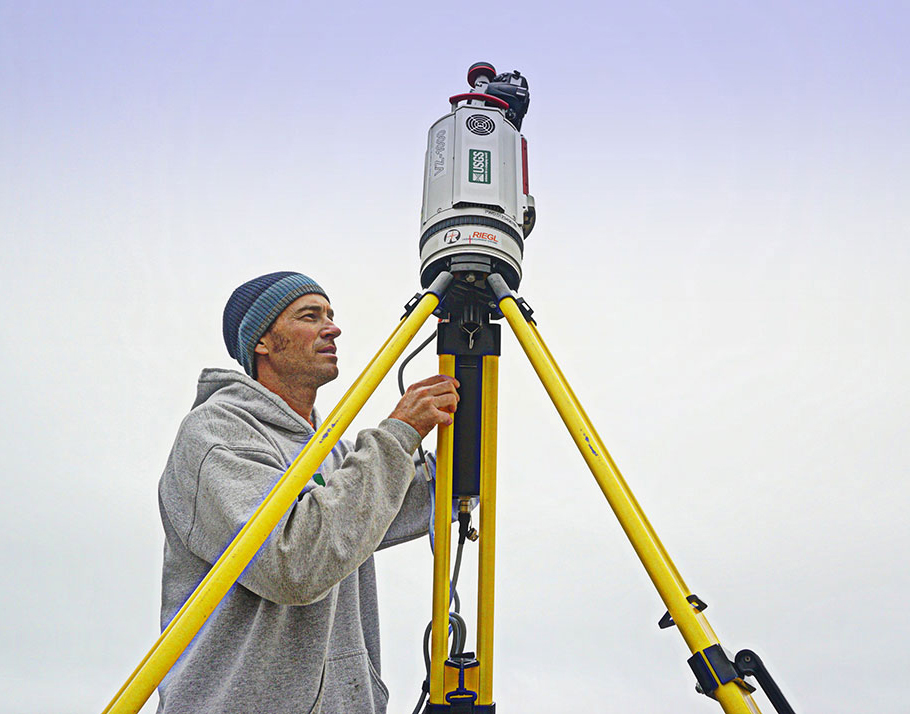
USGS geographer prepares to measure beach elevations with lidar.

Detailed Description
USGS geographer Josh Logan prepares to measure beach elevations with a lidar (light detection and ranging) scanner near Capitola on December 10, 2014, in anticipation of a large storm forecast for the next day.