
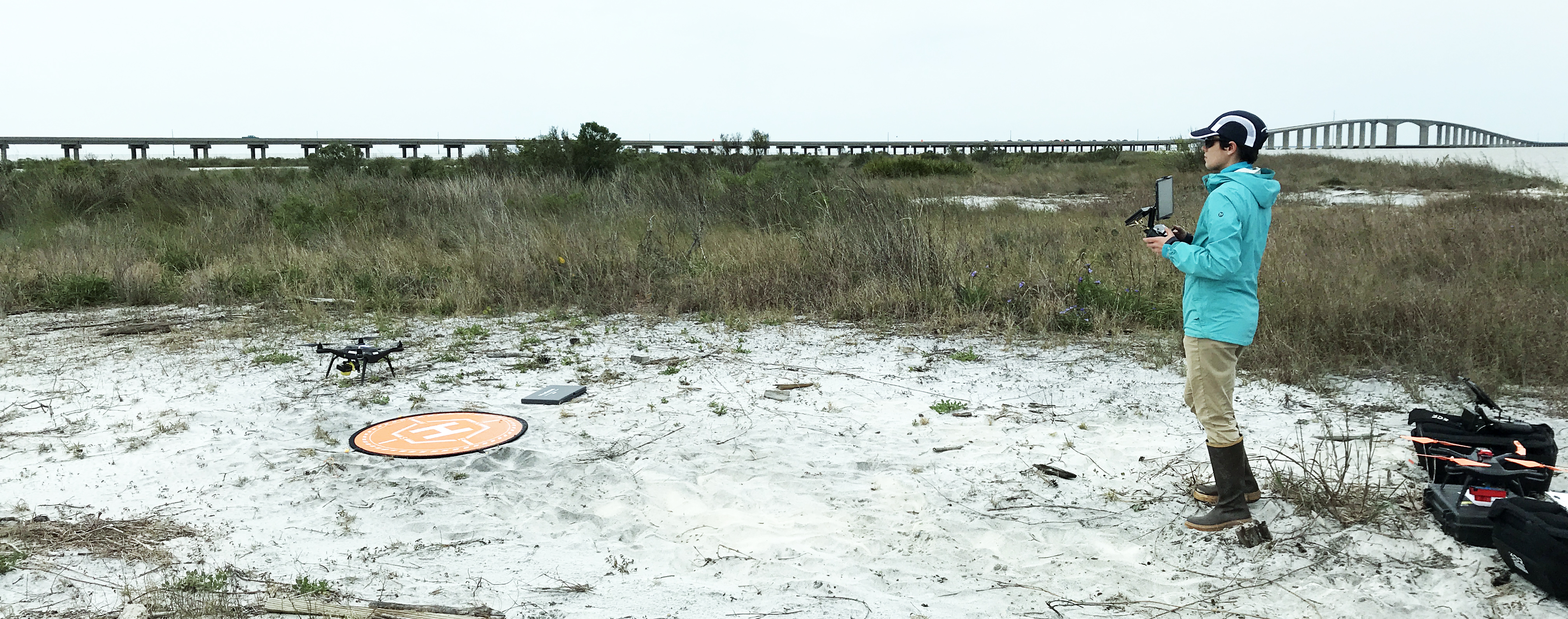
USGS pilot landing an unmanned aerial system on Dauphin Island, AL

Detailed Description
USGS unmanned aerial system (drone) pilot collecting aerial imagery and ground control points for the Coastal Resource Evaulation for Management Applications (CREMA) project on Dauphin Island, Alabama
Sources/Usage
Public Domain.