
USGS Rapid Response to Haiti
Detailed Description
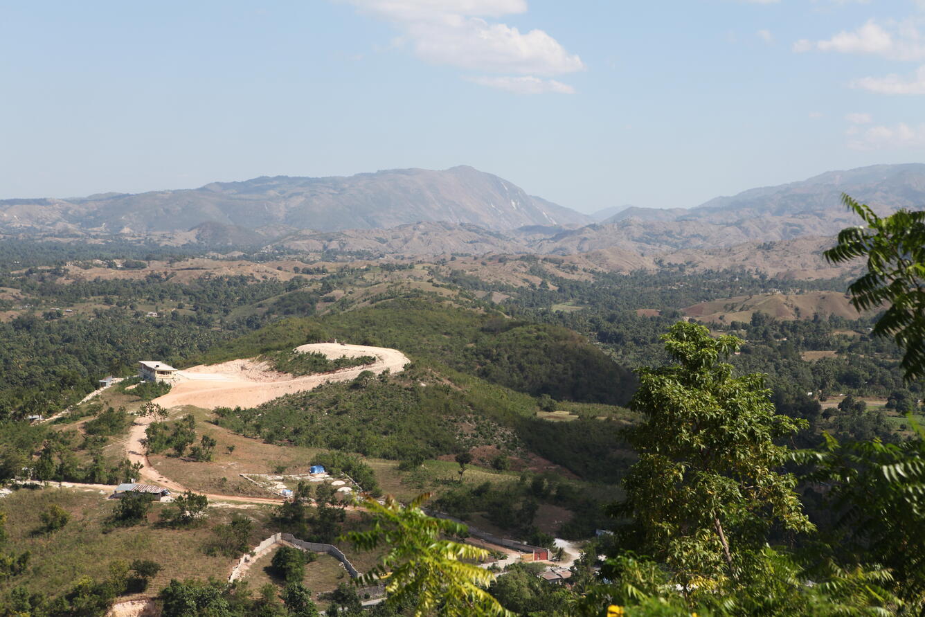
The epicenter of the magnitude-7 earthquake that struck Haiti on Jan. 12, 2010 is shown in this photo below the highest peak in the center of the view. The mapped Enriquillo fault zone comes towards the viewer in the low-lying hills and passes north (left) of the deforested clearing in the foreground. The low lying portion of Haiti on the far north (left) is used for sugar cane cultivation and is heavily populated.
Sources/Usage
Public Domain.