
Webpage Complete article Figure 2 Google Maps View
By The National Map Corps Newsletter
July 2023 (approx.)
Detailed Description
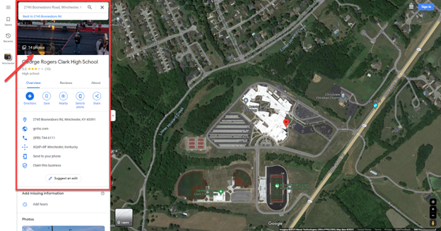
Figure 2: The red pin identifying George Rogers Clark High School with the aerial imagery layer turned on as seen within the Google MapsTM interface.
Sources/Usage
Public Domain.