
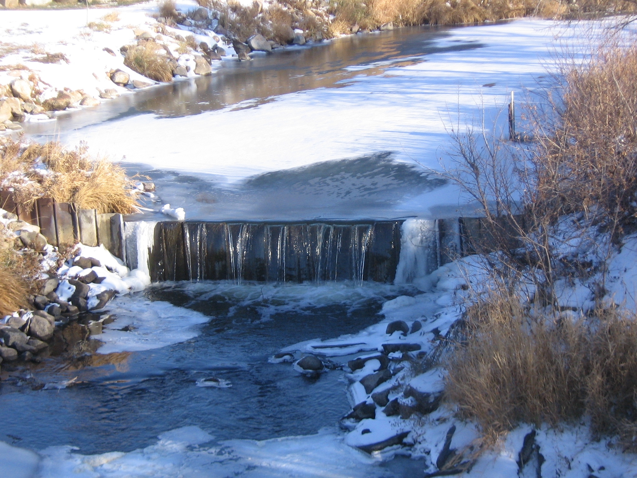
Weir Control at Beaver Creek below Linton

Detailed Description
Weir control at Beaver Creek below Linton, North Dakota. For more information on the use of weirs to aid in the determination of streamflow, see volumes 1 and 2 of the USGS Water Supply Paper, Measurement and Computation of Streamflow.
Sources/Usage
Public Domain.