
Effects of Hurricane Irma on island in Florida Bay


Detailed Description
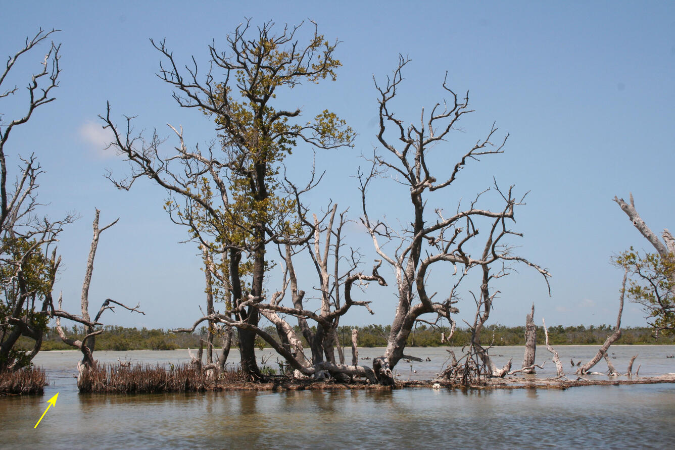
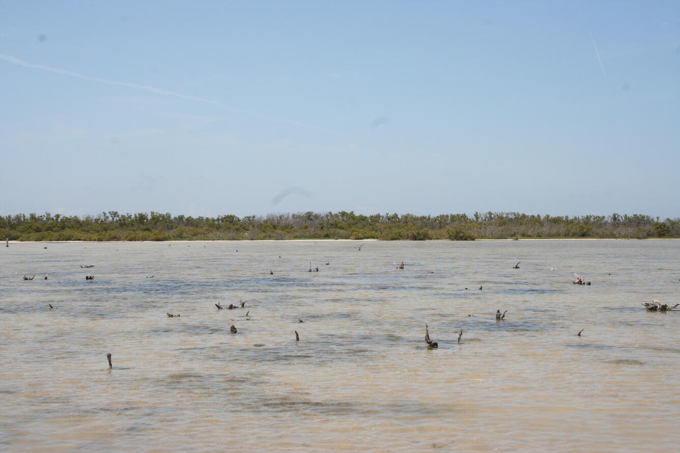
We first sampled four islands in Florida Bay, Everglades National Park, in April 2014 to collect cores to study sea level rise and storm history in the region. In September 2017, Hurricane Irma (a category 4 storm at landfall in the Florida Keys) passed just to the west of our field sites. The western-most of the four islands (Jim Foot Key) was closest to the eye of the storm and the most impacted. Above are a series of images that show the effects the storm had on the protective berm that surrounds the island and the mangroves that anchor the berm. These islands serve as examples of what might happen to the main-land coast of Florida with changes in sea level and climate. Our observations through summer 2018 have been published but we are continuing to monitor Jim Foot Key to see if the protective berm will recover or if the eastern part of the island will be inundated by rising sea level.
Sources/Usage
Public Domain.