
Next Generation Water Observing System (NGWOS)
Trinity-San Jacinto River Basin selected as 5th Integrated Water Science Basin
Studies in this Texas basin will focus on the impacts of climate change and sea level variability in urban envirnoments
Willamette River Basin selected as 4th Integrated Water Science Basin
Studies in this Pacific Northwest basin will advance the science used to manage water for the diverse needs of major cities, fertile agriculture, and ecologically important species
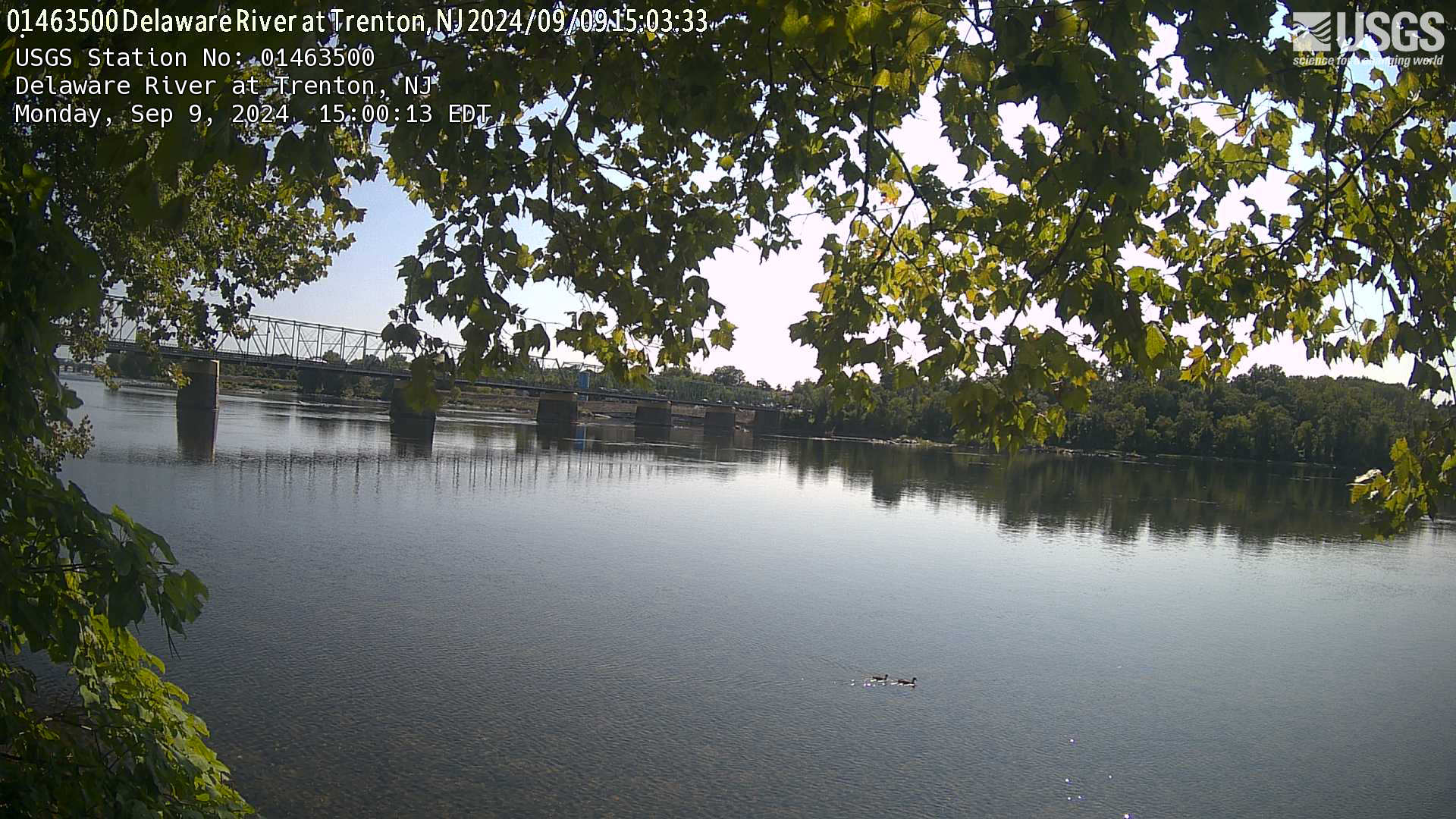
How We Model Stream Temperature in the Delaware River Basin
New data visualization explores neural networks, and how the USGS uses them to make physically-realistic predictions with less data
From Snow to Flow
What changing snowmelt means for water availability in the western U.S.
NGWOS Illinois River Basin briefing sheet now available
IRB efforts will focus on nutrients, sediment, harmful algal blooms, water availability, urban flooding, and emerging contaminants
Balancing water availability and quality in the Delaware River Basin
How new USGS science and monitoring can inform water management
Delaware River Dashboard
Substantial advances in water science, together with emerging breakthroughs in technical and computational capabilities, have led the USGS to develop a Next Generation Water Observing System (NGWOS). The USGS NGWOS will provide real-time data on water quantity and quality in more affordable and rapid ways than previously possible, and in more locations.

USGS's NGWOS will integrate fixed and mobile monitoring assets in the water, ground, and air, including innovative webcams and new ground- and space-based sensors. When fully implemented, the NGWOS will provide high temporal and spatial resolution data on streamflow, evapotranspiration, snowpack, soil moisture, water quality, groundwater/surface-water connections, stream velocity distribution, sediment transport, and water use. USGS partner and stakeholder needs are helping to inform the NGWOS design so that data and information generated by the NGWOS will help them anticipate water shortages more accurately and react to water hazards more quickly.
An NGWOS pilot in the Delaware River Basin is providing an opportunity to develop the NGWOS in a nationally important, complex interstate river system.
A western basin—the Upper Colorado River Basin—was selected for inclusion in the NGWOS in November 2019. This basin is providing an opportunity to improve regional water prediction in snowmelt dominated systems.
The Illinois River Basin is being added to the NGWOS (2020) to fill monitoring gaps and data needs to advance nutrient delivery and harmful algal bloom prediction.
Characteristics of a Next Generation Water Observing System
- State-of-the-art measurements
- Dense array of sensors at selected sites
- Increased spatial and temporal coverage
- New technology testing and implementation
- Improved operational efficiency
- Modernized and timely data storage and delivery

NGWOS data will support advanced modeling tools to provide state-of-the-art flood and drought forecasts, drive emergency- and water-management decision support systems, and address difficult questions such as:
- What are the near-term and long-term risks of floods and droughts, and what scenarios change these risks?
- How much water is stored in seasonal snow packs, and how will changes affect water supplies?
- Are we in the early stages of a drought? How long will drought recovery take?
- How much water is lost to evapotranspiration?
- What is the quality of water and how will it change during wet/dry periods?
- How much does groundwater contribute to streamflow, or vice-versa?
Emerging and Innovative Technologies

The NGWOS aims to foster innovation and development of monitoring technologies and methodologies to make data more affordable and more rapidly available. Monitoring innovations also are expected to lead to more types of data at higher temporal and spatial frequencies. Innovation testing sites will be identified on main-stem streams and small streams within NGWOS watersheds. These locations will provide a platform for rigorous, transparent, and reproducible testing of emerging and innovative monitoring technologies by the USGS and other entities. Technologies of interest include radar and image velocimetry for remotely sensing surface-water velocities, drone-mounted ground-penetrating radar for measuring bathymetry for improving flow estimates, new sensors for monitoring continuous water-quality and suspended sediment, and others. The application and benefits of these innovations will extend beyond the NGWOS watersheds and be incorporated into routine operation of USGS monitoring networks.
NGWOS Design Strategy
The USGS has a nearly 140-year history of providing reliable and relevant scientific information to decision makers. Today (2019), the USGS operates and maintains real-time, continuous monitoring networks nationwide consisting of more than 8,200 streamflow-gaging stations, 2,100 water-quality stations, 1,700 groundwater-level monitoring wells, and 1,000 precipitation stations. USGS hydrographers make tens of thousands of discrete water measurements each year. Requests for USGS data exceed 670 million annually. Yet, the current National Streamflow Network—while providing data at critical locations—covers less than 1 percent of the Nation’s streams and rivers. This sampling density helps to inform current and past water conditions (see, for example, WaterWatch) but is not sufficient for predicting interactions between climate, surface water, groundwater and soil moisture across large watersheds.
From the perspectives of science, cost, and operations and maintenance, it is not necessary or feasible to collect data at a high spatial density throughout all large watersheds and aquifers. A more practical approach is to develop intensive monitoring networks in a small number of medium-sized watersheds (10,000-20,000 square miles) and underlying aquifers that are representative of larger regions across the Nation. Data from these intensively monitored watersheds can then be used in combination with data from existing monitoring networks to construct and reduce the uncertainty in advanced models to fill in data and knowledge gaps in regional and national water assessments and predictions. At present (2019), it is anticipated that the NGWOS will include at least 10 intensively monitored medium-sized watersheds, selected with input from USGS stakeholders, to represent a wide range of environmental, hydrologic and landscape settings across the Nation. At least one basin in each of 18 water resource regions will be identified for potential NGWOS consideration.
Water Data Management and Delivery
The USGS information systems for water-data management and delivery are being transformed and modernized as part of the NGWOS to accommodate new data and sensor networks, allow for integration with water data from multiple agencies and sectors, display observational data uncertainty, and enable data and analytical products to feed directly into models. Data telemetry systems also are being updated to allow for two-way communications and more frequent transmission of data to the internet.
Next Steps for the Next Generation Water Observing System
- Continue equipment deployment and testing in the Delaware River Basin pilot
- Conduct network design and analysis for the Upper Colorado River Basin NGWOS
- Make modest investments in new monitoring in the Upper Colorado River Basin NGWOS
- Engage stakeholders to help plan for the Illinois River Basin NGWOS
- Identify monitoring gaps in the Illinois River Basin NGWOS
- Map out remote sensing, data delivery components of NGWOS
- Continue research-to-operations efforts for NextGen technologies
Below are multimedia items associated with NGWOS.

Next Generation Water Observing System Conceptual Diagram
Conceptual illustration showing how USGS's Next Generation Water Observing System will enhance the spatial and temporal monitoring of water within reference basins and larger hydrologic regions in all U.S. states and territories.
Substantial advances in water science, together with emerging breakthroughs in technical and computational capabilities, have led the USGS to develop a Next Generation Water Observing System (NGWOS). The USGS NGWOS will provide real-time data on water quantity and quality in more affordable and rapid ways than previously possible, and in more locations.
USGS's NGWOS will integrate fixed and mobile monitoring assets in the water, ground, and air, including innovative webcams and new ground- and space-based sensors. When fully implemented, the NGWOS will provide high temporal and spatial resolution data on streamflow, evapotranspiration, snowpack, soil moisture, water quality, groundwater/surface-water connections, stream velocity distribution, sediment transport, and water use. USGS partner and stakeholder needs are helping to inform the NGWOS design so that data and information generated by the NGWOS will help them anticipate water shortages more accurately and react to water hazards more quickly.
An NGWOS pilot in the Delaware River Basin is providing an opportunity to develop the NGWOS in a nationally important, complex interstate river system.
A western basin—the Upper Colorado River Basin—was selected for inclusion in the NGWOS in November 2019. This basin is providing an opportunity to improve regional water prediction in snowmelt dominated systems.
The Illinois River Basin is being added to the NGWOS (2020) to fill monitoring gaps and data needs to advance nutrient delivery and harmful algal bloom prediction.
Characteristics of a Next Generation Water Observing System
- State-of-the-art measurements
- Dense array of sensors at selected sites
- Increased spatial and temporal coverage
- New technology testing and implementation
- Improved operational efficiency
- Modernized and timely data storage and delivery
NGWOS data will support advanced modeling tools to provide state-of-the-art flood and drought forecasts, drive emergency- and water-management decision support systems, and address difficult questions such as:
- What are the near-term and long-term risks of floods and droughts, and what scenarios change these risks?
- How much water is stored in seasonal snow packs, and how will changes affect water supplies?
- Are we in the early stages of a drought? How long will drought recovery take?
- How much water is lost to evapotranspiration?
- What is the quality of water and how will it change during wet/dry periods?
- How much does groundwater contribute to streamflow, or vice-versa?
Emerging and Innovative Technologies
The NGWOS aims to foster innovation and development of monitoring technologies and methodologies to make data more affordable and more rapidly available. Monitoring innovations also are expected to lead to more types of data at higher temporal and spatial frequencies. Innovation testing sites will be identified on main-stem streams and small streams within NGWOS watersheds. These locations will provide a platform for rigorous, transparent, and reproducible testing of emerging and innovative monitoring technologies by the USGS and other entities. Technologies of interest include radar and image velocimetry for remotely sensing surface-water velocities, drone-mounted ground-penetrating radar for measuring bathymetry for improving flow estimates, new sensors for monitoring continuous water-quality and suspended sediment, and others. The application and benefits of these innovations will extend beyond the NGWOS watersheds and be incorporated into routine operation of USGS monitoring networks.
NGWOS Design Strategy
The USGS has a nearly 140-year history of providing reliable and relevant scientific information to decision makers. Today (2019), the USGS operates and maintains real-time, continuous monitoring networks nationwide consisting of more than 8,200 streamflow-gaging stations, 2,100 water-quality stations, 1,700 groundwater-level monitoring wells, and 1,000 precipitation stations. USGS hydrographers make tens of thousands of discrete water measurements each year. Requests for USGS data exceed 670 million annually. Yet, the current National Streamflow Network—while providing data at critical locations—covers less than 1 percent of the Nation’s streams and rivers. This sampling density helps to inform current and past water conditions (see, for example, WaterWatch) but is not sufficient for predicting interactions between climate, surface water, groundwater and soil moisture across large watersheds.
From the perspectives of science, cost, and operations and maintenance, it is not necessary or feasible to collect data at a high spatial density throughout all large watersheds and aquifers. A more practical approach is to develop intensive monitoring networks in a small number of medium-sized watersheds (10,000-20,000 square miles) and underlying aquifers that are representative of larger regions across the Nation. Data from these intensively monitored watersheds can then be used in combination with data from existing monitoring networks to construct and reduce the uncertainty in advanced models to fill in data and knowledge gaps in regional and national water assessments and predictions. At present (2019), it is anticipated that the NGWOS will include at least 10 intensively monitored medium-sized watersheds, selected with input from USGS stakeholders, to represent a wide range of environmental, hydrologic and landscape settings across the Nation. At least one basin in each of 18 water resource regions will be identified for potential NGWOS consideration.
Water Data Management and Delivery
The USGS information systems for water-data management and delivery are being transformed and modernized as part of the NGWOS to accommodate new data and sensor networks, allow for integration with water data from multiple agencies and sectors, display observational data uncertainty, and enable data and analytical products to feed directly into models. Data telemetry systems also are being updated to allow for two-way communications and more frequent transmission of data to the internet.
Next Steps for the Next Generation Water Observing System
- Continue equipment deployment and testing in the Delaware River Basin pilot
- Conduct network design and analysis for the Upper Colorado River Basin NGWOS
- Make modest investments in new monitoring in the Upper Colorado River Basin NGWOS
- Engage stakeholders to help plan for the Illinois River Basin NGWOS
- Identify monitoring gaps in the Illinois River Basin NGWOS
- Map out remote sensing, data delivery components of NGWOS
- Continue research-to-operations efforts for NextGen technologies
Below are multimedia items associated with NGWOS.
Next Generation Water Observing System Conceptual Diagram
Conceptual illustration showing how USGS's Next Generation Water Observing System will enhance the spatial and temporal monitoring of water within reference basins and larger hydrologic regions in all U.S. states and territories.