Fast Fire Facts from USGS
You’ve got questions about USGS fire science. We’ve got answers.
Looking back, 2018 was a devastating year for fire in the United States. Fires were sparked by a combination of drought, dry vegetation, hotter temperatures, human-caused factors and wind. California alone had more than 7,500 fires burn an estimated 1,618,000 acres. The Mendocino Complex, Carr and Camp fires were three of the top 20 California wildfires on record. Lives were lost, people were injured and displaced, and homes and businesses were destroyed. Because fire response is now a year-round activity, fire seasons are now referred to as fire years according to the Wildland Fire Leadership Council.
This year to date more than four million acres have burned or are burning in the U.S., such as the Castle Fire in Arizona and the Chalkyitsik Complex Fire in Alaska. It costs about $5 billion a year to respond to wildfires, and the net economic impact is about $72 billion a year. Yet wildfire also plays an important role in helping sustain healthy and productive ecosystems.
Wildland fires are increasing in size and intensity and addressing fire issues is complicated by such things as invasive species, insect and disease outbreaks, human build-out into the wildlands, and changing climate patterns. The USGS has researchers studying and modeling the impacts of wildland fires from Florida to Alaska. Here’s what you need to know about wildland fire and the USGS role in wildland fire science.
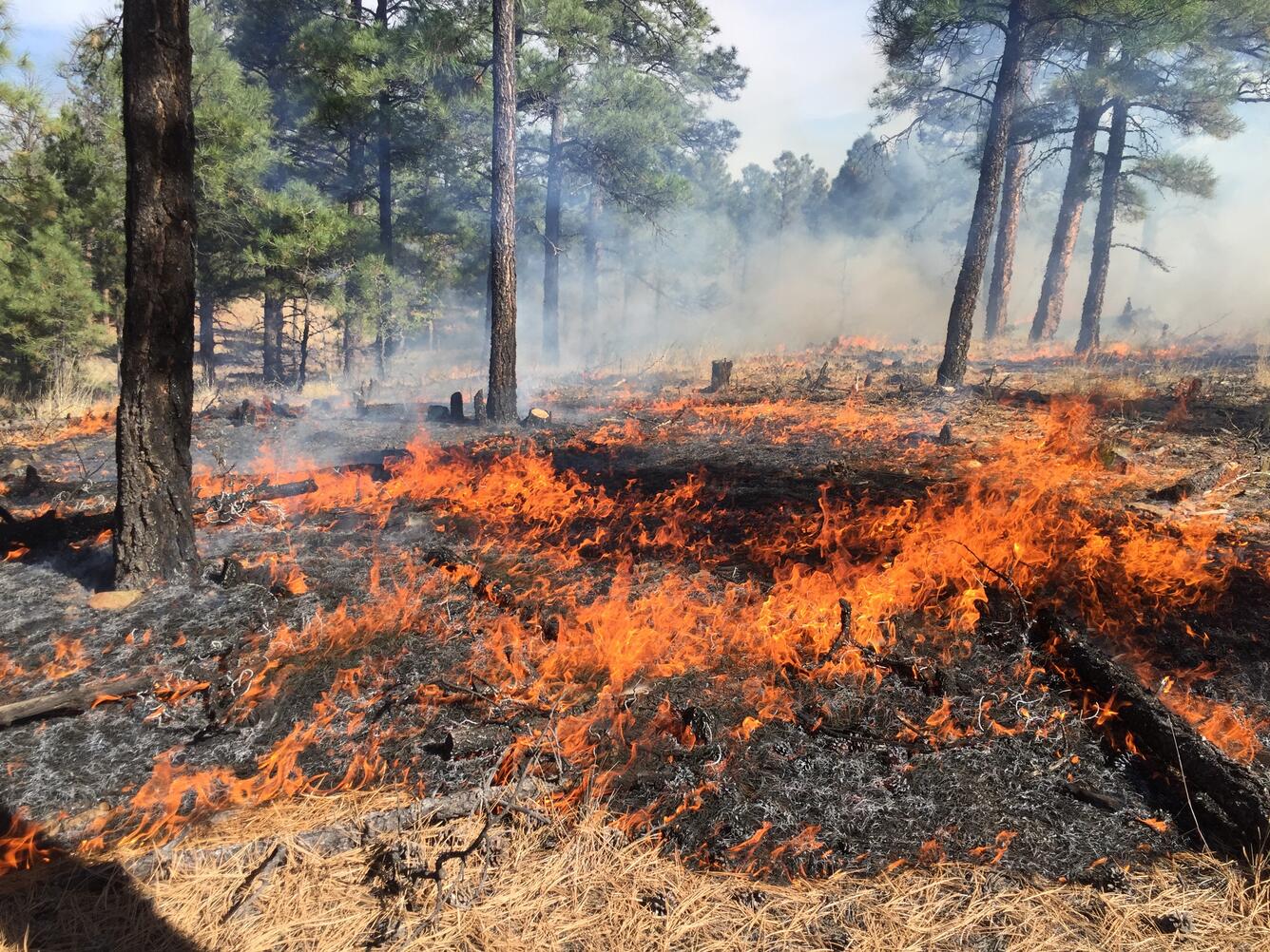
What are wildland fires? They are fires that occur on undeveloped land such as forests, prairies and shrublands; they include both wildfires and prescribed fires
How do wildland fires start? Lightning strikes, sparks from power lines, or spread from a campfire are some of the ways wildland fires start. Wildfires or unplanned ignitions are caused by humans about 85% of the time. Wildland fires also include prescribed fires,which are set in order to reduce vegetation and other hazardous fuels, in turn reducing fire risk or creating good habitat for plants and wildlife.
What’s happening with fire in the United States? Fire patterns have changed over time. Forests, shrublands and grasslands evolved with fire over thousands of years. A critical driver in ecosystems, fire is needed for many plant and animal communities to provide habitat, release seeds, or initiate seed germination.
Although there were very large fires in the late 1800s and early 1900s, starting in the early 1900s wildfires were fought aggressively and suppressed, which led to a build-up of fire fuels in forested areas. Today, areas are built-up with more fuel for fires which means bigger, more intense and more damaging wildfires.
Is it just about fuels? No, other factors affecting fire today include changes in climate and weather patterns — warming temperatures, periods of drought, and erratic rains. Development in the wildlands has resulted in more human-caused caused fires. Invasive species also play a role in wildland fire. For example cheatgrass has increased the frequency of wildfires from about every 50-100 years in native sagebrush and bunchgrass habitats to about every 20 years when cheatgrass becomes established. These fires destroy the native habitat which further increases the spread of the invasive cheatgrass.
What does the change in fuels, climate, and weather patterns mean? Scientists have determined that these changes mean bigger fires over longer periods of time, with more damaging effects.
What’s the role of the USGS in wildland fire science? The USGS provides information and tools to fire and land managers to make decisions before, during and after wildfires. Research does not just take place in forests, but also shrublands, deserts, grasslands, swamps, and tundra. USGS scientists use technology to provide critical data and geospatial tools like Landfire, GeoMAC, and Monitoring Trends in Burn Severity to support fire and land managers. These tools help scientists answer key questions about:
Wildland Fire Behavior and Risk Management
- What areas have a high chance of a big damaging fire?
- Where is fire needed to benefit the ecosystem?
- How has fire risk changed in various ecosystems?
Fire Ecology, Effects and Restoration
- What role does fire play in different ecosystems?
- How does fire have a positive or negative effect on plants, animals, soils and water?
- How can native plants be restored after fires?
Risk Assessment for Human Health, Public Safety and the Nation’s Infrastructure
- What are the effects of smoke, ash and particles on human and ecosystem health?
- What additional risks exist after wildfires due to the loss of vegetation and topsoil (floods, debris flows, landslides, wind storms, etc.)?
- How is water quality affected?
Beyond land and fire managers, the USGS works with other partners to provide information on fires at the wildland-urban interface to help people understand what makes homes and communities vulnerable and what they can do to reduce the risk of wildfires.
From the swamps to the prairies to the wildland-urban interface, the USGS is providing critical information to understand and address the challenges of wildland fire.
Wildland Fire Resources:
USGS wildland fire publications
USGS and Wildland Fire: Supporting the Nation's Wildland Fire Management Challenges


