
The Geological Mapping Program Status and Future Revealed
USGS Open File Report 2019-1012
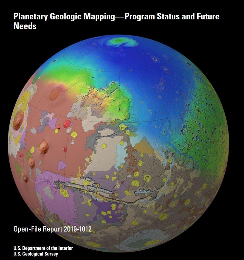
Planetary geologic maps show how rocks and sediments exist in three dimensions and help scientists interpret land surface evolution through time. They also help guide scientific investigations and place scientific results into a common context for comparability. Beginning at the Lunar and Planetary Science Conference in 2017, the USGS Planetary Geologic Map Coordination Group surveyed the planetary science community to better understand how planetary geologic maps are used and how these maps and supportive data should evolve in order to best support NASA's exploration objectives. The rationale, method, and results of this survey are now available in USGS Open File Report 2019-1012, "Planetary Geologic Mapping--Program Status and Future Needs." This report includes a summary of the survey findings and recommendations for the future of the USGS-NASA Planetary Geologic Mapping Program.
Get Our News
These items are in the RSS feed format (Really Simple Syndication) based on categories such as topics, locations, and more. You can install and RSS reader browser extension, software, or use a third-party service to receive immediate news updates depending on the feed that you have added. If you click the feed links below, they may look strange because they are simply XML code. An RSS reader can easily read this code and push out a notification to you when something new is posted to our site.