
Photo and Video Chronology – Mauna Loa – August 19, 2021
By Mauna Loa
August 19, 2021
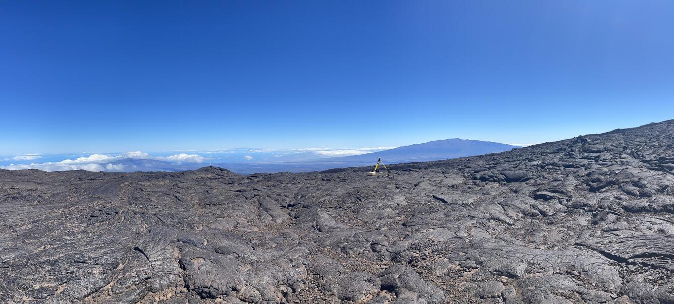
HVO scientists collect high-precision Global Positioning System (GPS) data to assess hazards and understand evolving processes at Mauna Loa.
Annual Mauna Loa Campaign GPS Survey

Sources/Usage: Public Domain. View Media Details
Sources/Usage: Public Domain. View Media Details

Sources/Usage: Public Domain. View Media Details

Sources/Usage: Public Domain. View Media Details
Get Our News
These items are in the RSS feed format (Really Simple Syndication) based on categories such as topics, locations, and more. You can install and RSS reader browser extension, software, or use a third-party service to receive immediate news updates depending on the feed that you have added. If you click the feed links below, they may look strange because they are simply XML code. An RSS reader can easily read this code and push out a notification to you when something new is posted to our site.