EarthView–Marree Man Geoglyph in Australia Does Reappearing Act
USGS EarthView of the Week
The Australian Marree Man is reborn!
EarthViews is a continuing series in which we share a USGS Image of the Week featuring the USGS/NASA Landsat program. From the artistry of Earth imagery to natural and human-caused land change over time, check back every Friday to finish your week with a visual flourish!
The EarthView: Marree Man Geoglyph in Australia Does Reappearing Act
Description:
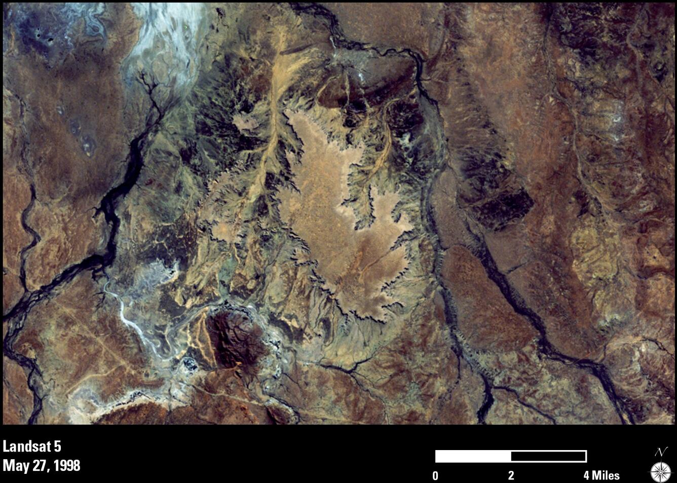
In June 1998, a pilot discovered a strange sight in the Australian outback that wasn’t there before—a huge outline of what appeared to be an Aboriginal man throwing either a boomerang or a stick. It turned out to be a geoglyph, which is a design on the ground typically made of natural elements and best viewed from above. This geoglyph was distinctive and large enough to be clearly visible in Landsat images.
Its origin remains a mystery, as no credible source has claimed responsibility. Over the years, the “Marree Man” faded because of rain and wind. In July 2000, Landsat 7 shows an outline with far fewer details.
In August 2016, the Marree Man was re-etched. A grader and GPS were used to re-create the outline, and this time the geoglyph is expected to last longer. The lines created are wind grooves that will trap water, so over time the outline should turn green.
Now clearly visible again in the November 2016 Landsat 8 image, Marree Man is among the biggest geoglyphs on Earth. It stretches 3.5 kilometers from the tip of his stick to his toes. From an airplane, a person would need to be at around 3,000 feet to view it in its entirety.
Hungry for some science, but you don’t have time for a full-course research plate? Then check out USGS Science Snippets, our snack-sized science series that focuses on the fun, weird, and fascinating stories of USGS science.


