
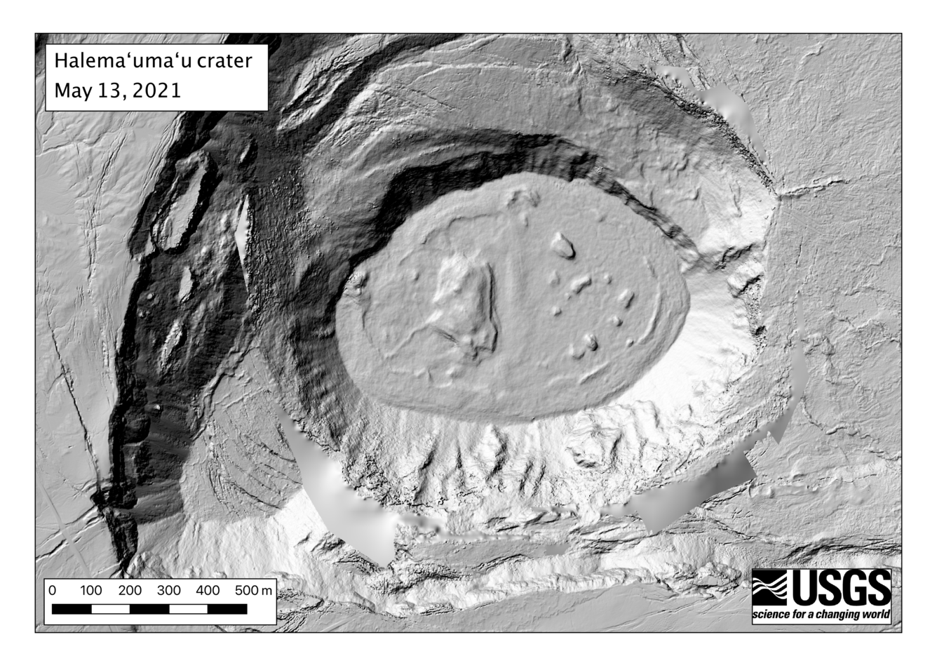
May 13, 2021—Halema‘uma‘u eruption Digital Elevation Model
May 18, 2021
Sources/Usage: Public Domain. View Media Details
Citation Information
| Title | May 13, 2021—Halema‘uma‘u eruption Digital Elevation Model |
|---|---|
| Record Source | USGS Publications Warehouse |