
On October 3, 2024, USGS and the USFS installed a new temporary seismic station Adams South Climbers Route (ASCR) at Mount Adams.
Multimedia
Images

Installation of the new temporary seismic station ASCR at Mount Adams.
On October 3, 2024, USGS and the USFS installed a new temporary seismic station Adams South Climbers Route (ASCR) at Mount Adams.

Scientist installing temporary seismic sensor at Mount Adams.
On October 3, 2024, sciences from the USGS Cascades Volcano Observatory and U.S. Forest Service installed new temporary seismic stations at Mount Adams volcano in southcentral Washington.
On October 3, 2024, sciences from the USGS Cascades Volcano Observatory and U.S. Forest Service installed new temporary seismic stations at Mount Adams volcano in southcentral Washington.

Scientists setting up temporary seismic station on Mount Adams.
Scientist with the USGS Cascades Volcano Observatory installs a temporary seismic station at Mount Adams.
Scientist with the USGS Cascades Volcano Observatory installs a temporary seismic station at Mount Adams.

Mount Adams earthquake location map and depth chart.
The earthquakes were detected on seismic station ASR2, a PNSN-operated station located about 7.5 miles (12 km) from the summit of Mount Adams, along with other stations much farther away from the volcano.
The earthquakes were detected on seismic station ASR2, a PNSN-operated station located about 7.5 miles (12 km) from the summit of Mount Adams, along with other stations much farther away from the volcano.

Maps of the currents and proposed seismic network station locations at Mount Adams.
Maps of the currents and proposed seismic network station locations at Mount Adams. To improve seismic monitoring capabilities, CVO has permission from the U.S. Forest Service to install temporary seismic stations south and southwest of Mount Adams.
Maps of the currents and proposed seismic network station locations at Mount Adams. To improve seismic monitoring capabilities, CVO has permission from the U.S. Forest Service to install temporary seismic stations south and southwest of Mount Adams.

Mount Adams earthquakes time vs depth plot 1982-2024
During September 2024, the U.S. Geological Survey Cascades Volcano Observatory (CVO) and Pacific Northwest Seismic Network (PNSN) located six earthquakes at Mount Adams. For comparison, earthquakes at this volcano are typically located at a rate of about 1 every 2-3 years.
During September 2024, the U.S. Geological Survey Cascades Volcano Observatory (CVO) and Pacific Northwest Seismic Network (PNSN) located six earthquakes at Mount Adams. For comparison, earthquakes at this volcano are typically located at a rate of about 1 every 2-3 years.
Videos

Mount St. Helens: Land of Transformation
Mt St. Helens before 1980, Land of Transformation
A stylistic interpretation of pre eruption snowcapped Mount St Helens as seen from a blue Spirit Lake with green rolling hills.
Text changes to May 18, 1980, Eruption. There is a grey explosion of rocks and smoke coming out the top of Mt St Helens. The hills and water are grey and brown.

Ways the 1980 Mount St. Helens Eruption Changed Our World
The May 18, 1980, eruption of Mount St. Helens was historic and fundamentally changed how we see volcanoes. For those who lost family and friends, homes, and their livelihoods, it was an unimaginable tragedy. For others around the world, the eruption was an exciting curiosity, an experience they could share with their kids and grandkids.
The May 18, 1980, eruption of Mount St. Helens was historic and fundamentally changed how we see volcanoes. For those who lost family and friends, homes, and their livelihoods, it was an unimaginable tragedy. For others around the world, the eruption was an exciting curiosity, an experience they could share with their kids and grandkids.
Ways the 1980 Mount St. Helens Eruption Changed Our World (AD)
The May 18, 1980, eruption of Mount St. Helens was historic and fundamentally changed how we see volcanoes. For those who lost family and friends, homes, and their livelihoods, it was an unimaginable tragedy. For others around the world, the eruption was an exciting curiosity, an experience they could share with their kids and grandkids.
The May 18, 1980, eruption of Mount St. Helens was historic and fundamentally changed how we see volcanoes. For those who lost family and friends, homes, and their livelihoods, it was an unimaginable tragedy. For others around the world, the eruption was an exciting curiosity, an experience they could share with their kids and grandkids.

5 Incredible Facts About Mount St. Helens
May is Volcano Awareness Month in Washington State. There's no better time to learn five incredible facts about Mount St. Helens. This list is a truncated version of the popular 30 Cool Facts about Mount St. Helens (usgs.gov) poster.
May is Volcano Awareness Month in Washington State. There's no better time to learn five incredible facts about Mount St. Helens. This list is a truncated version of the popular 30 Cool Facts about Mount St. Helens (usgs.gov) poster.
5 Incredible Facts About Mount St. Helens (AD)
May is Volcano Awareness Month in Washington State. There's no better time to learn five incredible facts about Mount St. Helens. This list is a truncated version of the popular 30 Cool Facts about Mount St. Helens (usgs.gov) poster.
May is Volcano Awareness Month in Washington State. There's no better time to learn five incredible facts about Mount St. Helens. This list is a truncated version of the popular 30 Cool Facts about Mount St. Helens (usgs.gov) poster.
Audio

How far did the ash from Mount St. Helens travel?
Welcome to CoreFacts, where we're always short on time and big on science. I'm Brian Campbell. Today's question is …
How far did the ash from Mount St. Helens travel?
Welcome to CoreFacts, where we're always short on time and big on science. I'm Brian Campbell. Today's question is …
How far did the ash from Mount St. Helens travel?

Where did the name "Mount St. Helens" come from?
Listen to hear the answer.
Webcams
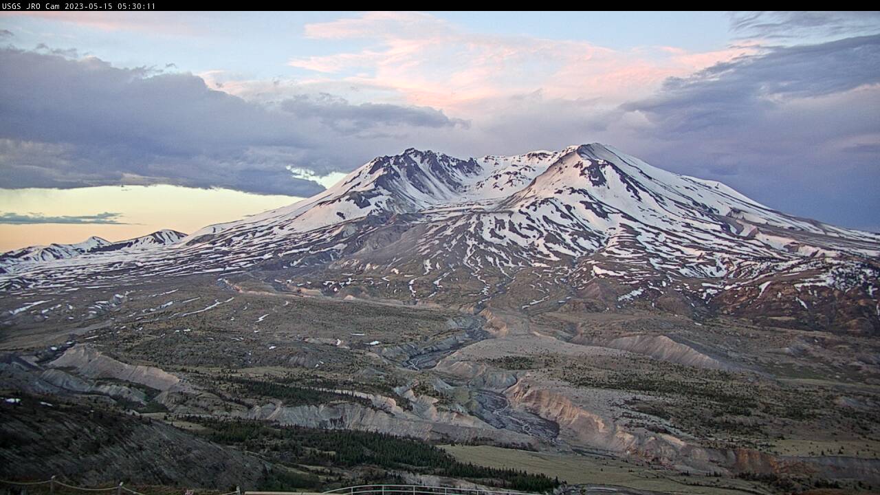
Johnston Ridge Observatory, Mount St. Helens
A debris flow in Mount St.