U.S. flag

An official website of the United States government

November 11, 2024

At the Cascades Volcano Observatory, staff use technical skills and creativity to solve complex problems and innovate for the future. Maciej’s experiments are too large for the observatory, so he travels 3 hours southeast of CVO to the HJ Andrews Experimental Forest in Blue River, Oregon to study debris flows. 

Meet Maciej

Maciej Obryk is a Research Hydrologist at the Cascades Volcano Observatory. He manages the large-scale experimental debris flow flume facility, and his primary research is on the initiation and rapid movement of icy/rocky debris flows at volcanoes. A research hydrologist at a volcano observatory studies the interactions between water systems and volcanic processes. They can investigate how volcanic activity impacts nearby rivers, lakes, groundwater and vice versa. Maciej’s work is critical to understanding volcanic hazards like landslides, debris flows and lahars (volcanic mudflows). 

It’s hard to study these hazards when they occur because of their unpredictable nature and potential danger. Systematic experimental observations, on the other hand, can help us understand the physical processes behind these dangerous hazards. Rarely do scientists studying debris flows have opportunities to do large-scale experiments. But at the debris flow flume, Maciej and his colleagues have a facility where they can play and learn! 

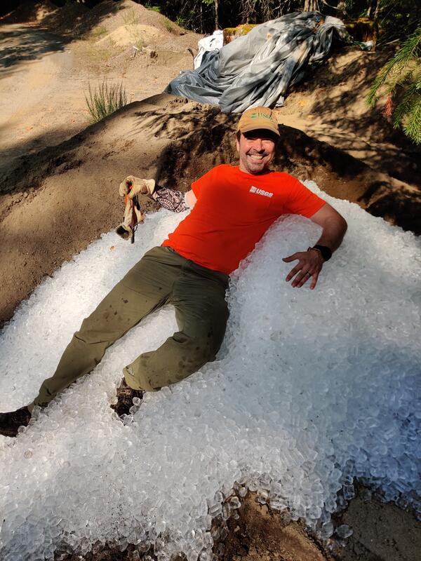
USGS Scientists Maciej Obryk sits in ice at the HJ Andrews Experimental Forest in Blue River, Oregon.

What are lahars and debris flows? 

The greatest volcanic hazard in the Pacific Northwest is from lahars, also known as volcanic mudflows or debris flows. Generally, scientists use the word lahar for large flows of volcanic origin with the potential to travel tens to hundreds of miles down valley to densely populated areas. Scientists use the term debris flow for much smaller, more common events caused by glacier floods and precipitation, which don’t travel far from their origin on Cascade volcanoes. In the valleys west of volcanoes like Mount Rainier, Glacier Peak, Mount St. Helens, and others, areas inundated by past lahars are now densely populated and contain important infrastructure like highways, bridges, ports, and pipelines. 

Mount Rainier is particularly susceptible to lahars and debris flows because ice, loose volcanic rock and surface water are abundant, and because some slopes have been weakened by hydrothermal alteration of rocks, which now contain abundant water and slippery clay. Lahars and debris flows look and behave like flowing concrete, and they destroy or bury most manmade structures in their paths.

We can see the lahar and debris flow deposits on the landscape, so we have a good idea of how much material they contained and how deep they were. But, without seeing them in action, it’s hard to know what their behavior was like, including critical information like how fast they traveled. This is where the experimental flume comes in to help answer those questions.

Meet the USGS debris-flow flume

The experimental flume was the idea of USGS scientist Richard Iverson. Through collaboration between the USGS and the U.S. Forest Service, this dream was realized, and the debris flow flume was constructed in 1991 and use began in 1992. 

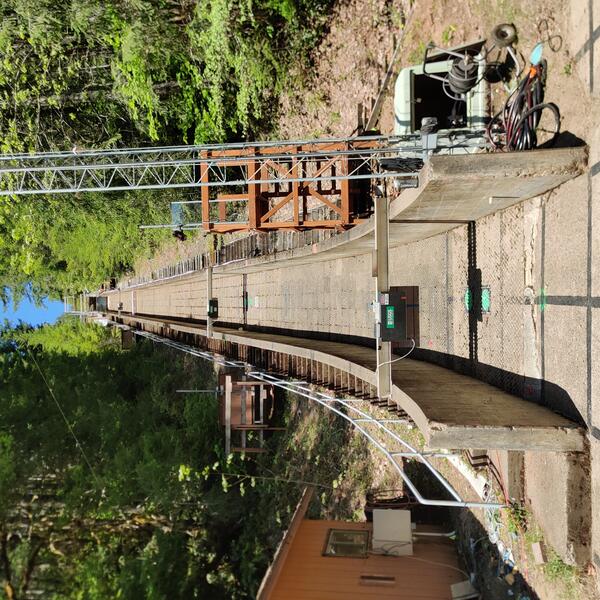
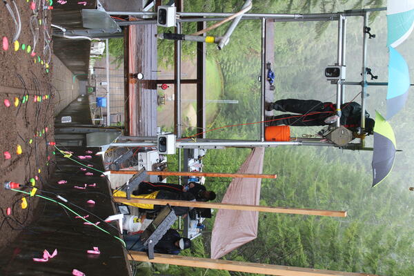
The 312 foot-long (95-meter-long), 6 foot-wide (2 meter-wide) debris flow flume facility is located near Blue River, Ore., in the H.J. Andrews Experimental Forest. The flume is a concrete channel on a 31° hillslope, heavily instrumented during experiments, including lasers, synchronized 4K video cameras, and load cells for measuring shear and normal forces, to name a few. The steep channel flattens into a 85 foot-long (26-meter-long), 2° runout pad at the bottom of the hill. The whole setup looks just like the final drop of a log flume ride at an amusement park.

Maciej and other scientists can study the effects of different materials on debris flow mobility or initiation processing, which help inform development of numerical models, and ultimately predict how fast and how far they can travel. This information is critical for emergency managers to help them plan and keep their communities safe. For example, now we know that past lahars at Mount Rainier traveled as fast as 45-50 mi per hour (70-80 km per hour). Inputting that information into disaster planning gives emergency managers a timeframe in which to evacuate from a sudden, or “no-notice” lahar triggered by a landslide. 

Photo of the experimental debris flow flume looking up towards the top of the wooden flume.
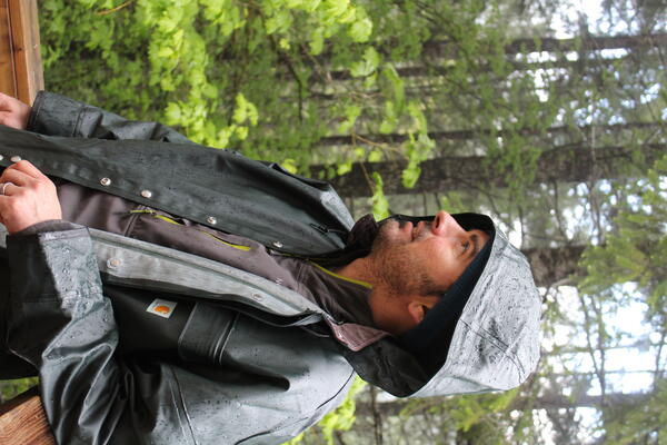
Maciej Obryk conducts research at the experimental debris flow flume in the rain.
A person stands on a platform above the debris flow shoot.

Up Next:

Another important aspect of these flume experiments is that scientists can deploy instruments (like infrasound, laser rangefinders and seismic sensors) to see if they can detect the incoming flows. Next week we will meet two more scientists working to help prepare communities west of Mount Rainier for future lahars by developing and implementing a lahar detection system. 

Get Our News

These items are in the RSS feed format (Really Simple Syndication) based on categories such as topics, locations, and more. You can install and RSS reader browser extension, software, or use a third-party service to receive immediate news updates depending on the feed that you have added. If you click the feed links below, they may look strange because they are simply XML code. An RSS reader can easily read this code and push out a notification to you when something new is posted to our site.

Was this page helpful?