
Photo and Video Chronology — Kīlauea East Rift Zone wildfire — October 7, 2024
By Hawaiian Volcano Observatory
October 8, 2024
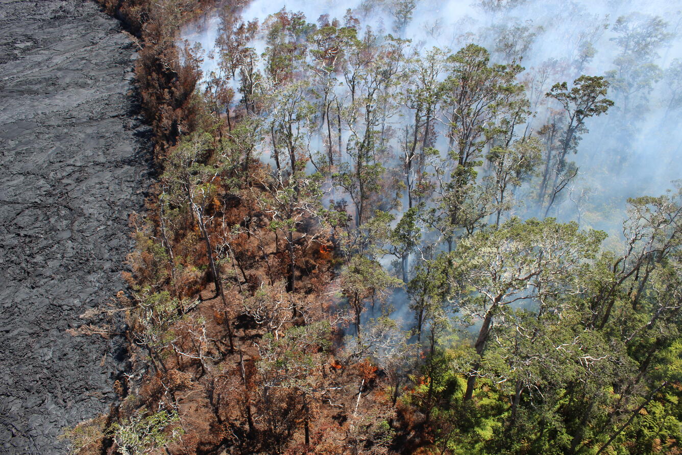
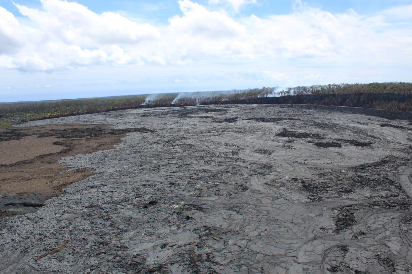
An area of forest continues to burn in a remote area on the south rim of Nāpau Crater following the recent eruption on Kīlauea’s middle East Rift Zone, within Hawai‘i Volcanoes National Park.
October 7, 2024
Media
Sources/Usage: Public Domain. View Media Details
Media

Sources/Usage: Public Domain. View Media Details
Media
Sources/Usage: Public Domain. View Media Details
Media

Sources/Usage: Public Domain. View Media Details
Get Our News
These items are in the RSS feed format (Really Simple Syndication) based on categories such as topics, locations, and more. You can install an RSS reader browser extension, software, or use a third-party service to receive immediate news updates depending on the feed that you have added. If you click the feed links below, they may look strange because they are simply XML code. An RSS reader can easily read this code and push out a notification to you when something new is posted to our site.