Hawaiian Monk Seal on a sandy beach near the western tip of the Hawaiian island of Moloka´i.
Images
Explore our planet through photography and imagery, including climate change and water all the way back to the 1800s when the USGS was surveying the country by horse and buggy.
Hawaiian Monk Seal on a sandy beach near the western tip of the Hawaiian island of Moloka´i.
Just after sunrise on a beach in eastern Maui.
Just after sunrise on a beach in eastern Maui.
Just after sunrise on a beach in eastern Maui.
Just after sunrise on a beach in eastern Maui.
Just after sunrise on a beach in eastern Maui.
Just after sunrise on a beach in eastern Maui.
Unidentified species of baby spiders hatching and dispersing.
Unidentified species of baby spiders hatching and dispersing.
Cratered cones near Hephaestus Fossae, Mars. This might look at first glance like a cinder cone, but it is more likely an impact crater. Using the shadow, one can tell that its floor is at a lower elevation than the surrounding landscape. A cinder cone would rise above the landscape.
Cratered cones near Hephaestus Fossae, Mars. This might look at first glance like a cinder cone, but it is more likely an impact crater. Using the shadow, one can tell that its floor is at a lower elevation than the surrounding landscape. A cinder cone would rise above the landscape.
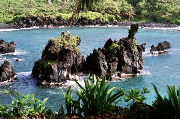
Lava islands, vegetated seaside cliffs, a black sand beach, and waves breaking against the steep ragged shoreline of a Hawaiian bay.
Lava islands, vegetated seaside cliffs, a black sand beach, and waves breaking against the steep ragged shoreline of a Hawaiian bay.
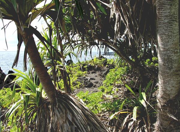
A hiking trail along seaside lava cliffs. Trail winds through an unusual Pandanus forest shared with an understory of Beach naupaka.
A hiking trail along seaside lava cliffs. Trail winds through an unusual Pandanus forest shared with an understory of Beach naupaka.
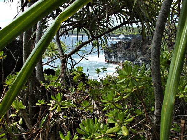
A forest on an old seaside lava flow vegetated almost entirely by just two plant species: Pandanus trees with an understory of Beach naupaka.
A forest on an old seaside lava flow vegetated almost entirely by just two plant species: Pandanus trees with an understory of Beach naupaka.
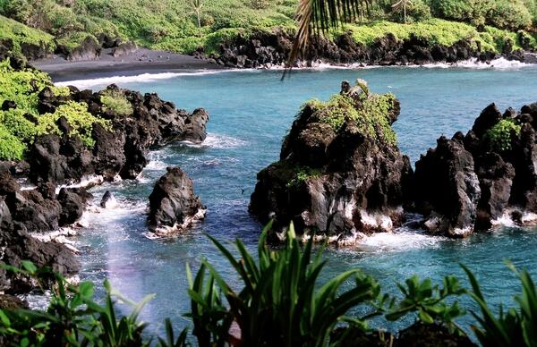
Lava islands, vegetated seaside cliffs, a black sand beach, and waves breaking against the steep ragged shoreline of a Hawaiian bay.
Lava islands, vegetated seaside cliffs, a black sand beach, and waves breaking against the steep ragged shoreline of a Hawaiian bay.
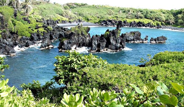
Lava islands, vegetated seaside cliffs, a black sand beach, and waves breaking against the steep ragged shoreline of a Hawaiian bay.
Lava islands, vegetated seaside cliffs, a black sand beach, and waves breaking against the steep ragged shoreline of a Hawaiian bay.
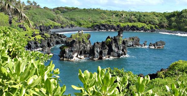
Lava islands, vegetated seaside cliffs, a black sand beach, and waves breaking against the steep ragged shoreline of a Hawaiian bay.
Lava islands, vegetated seaside cliffs, a black sand beach, and waves breaking against the steep ragged shoreline of a Hawaiian bay.
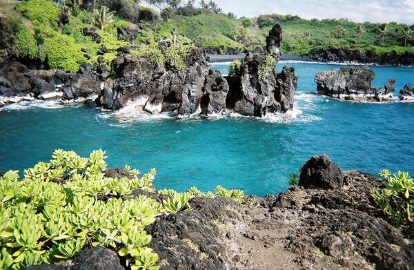
Lava islands, vegetated seaside cliffs, a black sand beach, and waves breaking against the steep ragged shoreline of a Hawaiian bay.
Lava islands, vegetated seaside cliffs, a black sand beach, and waves breaking against the steep ragged shoreline of a Hawaiian bay.

Lava islands, vegetated seaside cliffs, a black sand beach, and waves breaking against the steep ragged shoreline of a Hawaiian bay.
Lava islands, vegetated seaside cliffs, a black sand beach, and waves breaking against the steep ragged shoreline of a Hawaiian bay.
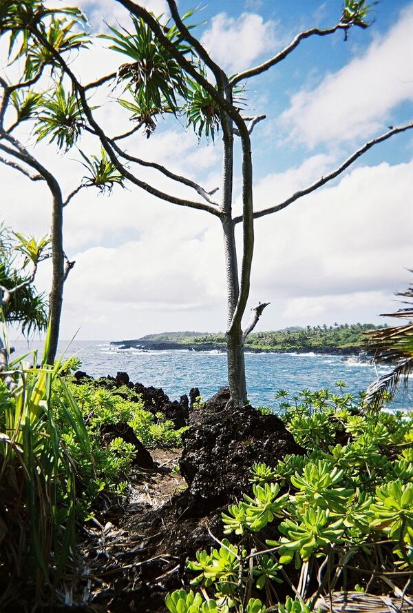
This hiking trail, Pandanus trees, an understory of Beach naupaka, and crashing waves characterize the windy cliff-tops along this jagged coast of solidified lava in Hawaii.
This hiking trail, Pandanus trees, an understory of Beach naupaka, and crashing waves characterize the windy cliff-tops along this jagged coast of solidified lava in Hawaii.
USGS scientist in a boat on the Hudson River
USGS scientist in a boat on the Hudson River
USGS Oklahoma Water Science Center Hydrologist Shana Mashburn and Tribal Environmental Technician seine for fish and insects during Tribal training class near Pauls Valley, Oklahoma.
USGS Oklahoma Water Science Center Hydrologist Shana Mashburn and Tribal Environmental Technician seine for fish and insects during Tribal training class near Pauls Valley, Oklahoma.

USGS Oklahoma Water Science Center Hydrologists Monica Allen and Shana Mashburn demonstrate methods for processing water-quality samples at Tribal training class at Pauls Valley, Oklahoma.
USGS Oklahoma Water Science Center Hydrologists Monica Allen and Shana Mashburn demonstrate methods for processing water-quality samples at Tribal training class at Pauls Valley, Oklahoma.
Bar-tailed Godwit tagged Z0 near Naknek, Alaska
Bar-tailed Godwit tagged Z0 near Naknek, Alaska

Bar-tailed godwit "Z0" instrumented with an implanted Argos satellite transmitter (note dorsally exposed antenna) to facilitate aerodynamics during the species non-stop flights across the Pacific Ocean.
Bar-tailed godwit "Z0" instrumented with an implanted Argos satellite transmitter (note dorsally exposed antenna) to facilitate aerodynamics during the species non-stop flights across the Pacific Ocean.
Biologists checking a fyke net as part of a fish project for the Norton Sound Economic Development Corporation. Otoliths were extracted and read for ages from the fish captured in this fyke net.
Biologists checking a fyke net as part of a fish project for the Norton Sound Economic Development Corporation. Otoliths were extracted and read for ages from the fish captured in this fyke net.


