
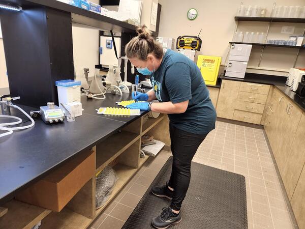
A UHU Hydrologic Technician analyzes a processed bacteria sample, this process quantifies coliforms of Escherichia coli (E. coli)
linkA UHU Hydrologic Technician analyzes a processed bacteria sample, this process quantifies coliforms of Escherichia coli (E. coli)


