
Long-term Shoreline Change Hazards in Puerto Rico
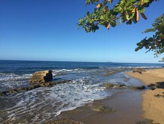
Long-term coastal erosion is a persistent hazard to coastal populations, infrastructure, and natural resources along the coasts of Puerto Rico. The shoreline position and change rate are used to quantify historical coastal change at decadal to centennial timescales, and identify factors that may have influenced those changes.
Understanding these dynamics also provides information that can be used to forecast shoreline positions to identify and prioritize hazard mitigation strategies regarding private property, public infrastructure and natural resources.
The U.S. Geological Survey’s Coastal Change Hazards program has compiled a national-scale shoreline database that includes associated change rates for the ocean coastlines of the coterminous U.S., parts of Hawaii, and Alaska which can be viewed or downloaded from our Coastal Change Hazards web portal. This project will expand our well-established methods to establish a database of historical shoreline positions and change rates for the sandy shorelines of Puerto Rico.
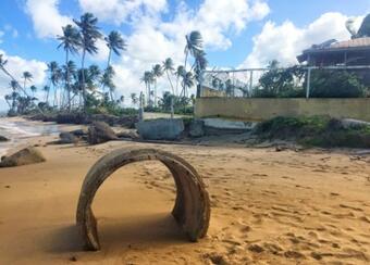
The goal of this project is to compile historical shoreline positions for Puerto Rico along with recent positions prior to and following hurricane Maria. These data will be derived from historical maps and photographs as well as lidar, and will provide information on both the long- and short-term trends in shoreline position. All of these data will be made available for web viewing and download to provide actionable information to homeowners, coastal communities, and managers of public and private properties to improve resiliency for long-term hazards.
Additional Resource:
Digital Shoreline Analysis System (DSAS)
Return to: Assessment of Coastal Hazards in Puerto Rico