U.S. flag

An official website of the United States government

Photo and Video Chronology – Kīlauea – May 21, 2021

May 21, 2021

Kīlauea's summit eruption continues on the Island of Hawai‘i; Halema‘uma‘u west vent erupts lava into the lava lake, which was 229 m (751 ft) deep this morning, May 21. Gas emissions and seismic activity at the summit remain elevated. HVO field crews—equipped with specialized safety gear—monitor the eruption from within

HVO scientists collect detailed data to assess hazards and understand how the eruption is evolving at Kīlauea's summit, all of which are shared with the National Park Service and emergency managers. Access to this hazardous area is by permission from, and in coordination with, Hawai‘i Volcanoes National Park.

May 20, 2021 — Kīlauea

Halema‘uma‘u lava lake

Color photograph of lava lake
No active surface lava was visible within Halema‘uma‘u, at the summit of Kīlauea, during a field visit yesterday morning. F1cam thermal images from yesterday afternoon show hot surface crust, but no active lava. F1cam thermal images from the morning of May 21 showed at least one small resurfacing event. This image was taken within an area of Hawai‘i Volcanoes National Park that remains closed to the public due to safety reasons. USGS photo taken by L. DeSmither on May 20, 2021.
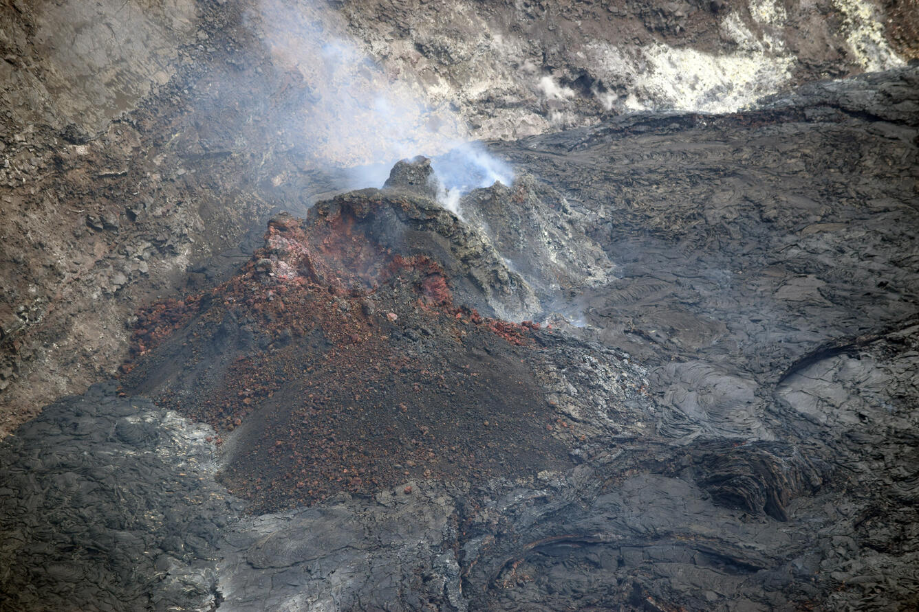
Color photograph of lava lake and vent
A close-up view of the western fissure vent complex and gas plume within Halema‘uma‘u, at the summit of Kīlauea. Gas emissions remain slightly elevated, with the most recent measurements on May 18 at 100 tonnes per day. The lava inlet from the base of the west vent, which no longer appears to be active, is visible on the right. USGS photo from the southern rim of Halema‘uma‘u taken by L. DeSmither on May 20, 2021.
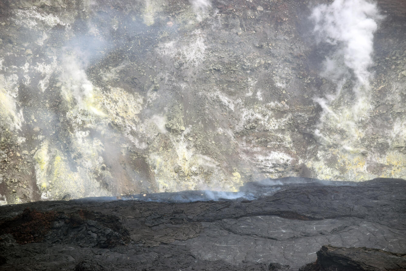
Color photograph of lava lake and crater wall
A close-up view of the northeastern rim of the Halema‘uma‘u lava lake, at the summit of Kīlauea. This area of the lava lake has been degassing persistently for the past few months. Several large boulders, which fell from the crater walls, are visible near the perimeter of the northern lava lake crust (center). The top of the inactive northern vent cone is visible in the lower left. USGS photo by L. DeSmither on May 20, 2021.


Get Our News

These items are in the RSS feed format (Really Simple Syndication) based on categories such as topics, locations, and more. You can install and RSS reader browser extension, software, or use a third-party service to receive immediate news updates depending on the feed that you have added. If you click the feed links below, they may look strange because they are simply XML code. An RSS reader can easily read this code and push out a notification to you when something new is posted to our site.