
USGS EROS Instagram Links
At the USGS EROS Center, we study land change and produce land change data products used by researchers, resource managers, and policy makers across the nation and around the world. Scroll through this page to find links to the videos, news stories, scientific publications, and other content that appears in our Instagram feed.
Image of the Week
Image of the Week

A23a, the world's largest iceberg, broke off Antarctica’s Filchner Ice Shelf in 1986 and spent the next three decades grounded on the seafloor. In 2020, it detached and began to drift northward.
Latest Podcast Episode
Latest Podcast Episode
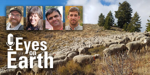
This episode of our remote sensing podcast covers how targeted sheep grazing can help manage sagebrush areas invaded by cheatgrass.