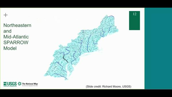
This lesson will provide a brief overview of the National Hydrography Dataset, Watershed Boundary Dataset and 3D Elevation program. This lesson will also discuss NHDPlus and introduce NHDPlus high resolution and tell you how to get the data.
In what scale are the data in the National Hydrography Dataset (NHD)?
Scales for data in the National Hydrography Dataset:
- Conterminous United States, Hawaii, and the Virgin Islands, medium resolution - 1:100,000-scale
- Conterminous United States, Hawaii, and the Virgin Islands, high resolution - 1:24,000-scale
- Puerto Rico - 1:20,000-scale
- Alaska - 1:63,360-scale
Users are encouraged to work with their state's principal steward to produce and submit data at higher resolutions.
High-resolution data and local-resolution data are combined into a single, best-resolution product database, so some areas having larger than 1:24,000-scale data. For example, the state of Vermont has data scaled at 1:5,000 for the entire state.
Learn more: NHD Stewardship
Related
How do I download hydrography data products?
How should I cite datasets and services from The National Map?
What formats are available for hydrography data products in The National Map?
What is the National Hydrography Dataset (NHD)?
What sources were used to produce the National Hydrography Dataset (NHD)?
This lesson will provide a brief overview of the National Hydrography Dataset, Watershed Boundary Dataset and 3D Elevation program. This lesson will also discuss NHDPlus and introduce NHDPlus high resolution and tell you how to get the data.
 Hydrography Seminar Series - Session 9 (NHDPlus HR)
The USGS Hydrography Seminar Series shares success stories from users, provides information on the National Hydrography Dataset (NHD), Watershed Boundary Dataset (WBD), NHDPlus High Resolution (NHDPlus HR), and other related products, and provides a forum for users to learn more about hydrography-related topics. Seminar 9 is an overview of the NHDPlus HR.
The USGS Hydrography Seminar Series shares success stories from users, provides information on the National Hydrography Dataset (NHD), Watershed Boundary Dataset (WBD), NHDPlus High Resolution (NHDPlus HR), and other related products, and provides a forum for users to learn more about hydrography-related topics. Seminar 9 is an overview of the NHDPlus HR.
The National Elevation Dataset (NED) is the primary elevation data product produced and distributed by the USGS National 3D Elevation Program (3DEP). The NED provides seamless raster elevation data of the conterminous United States, Alaska, Hawaii, and the island territories.
The National Elevation Dataset (NED) is the primary elevation data product produced and distributed by the USGS National 3D Elevation Program (3DEP). The NED provides seamless raster elevation data of the conterminous United States, Alaska, Hawaii, and the island territories.
User's guide for the national hydrography dataset plus (NHDPlus) high resolution
The National Map—New data delivery homepage, advanced viewer, lidar visualization
Description of the National Hydrologic Model for use with the Precipitation-Runoff Modeling System (PRMS)
NHDPlusHR: A national geospatial framework for surface-water information
The National Map hydrography data stewardship: what is it and why is it important?
Related
How do I download hydrography data products?
How should I cite datasets and services from The National Map?
What formats are available for hydrography data products in The National Map?
What is the National Hydrography Dataset (NHD)?
What sources were used to produce the National Hydrography Dataset (NHD)?
This lesson will provide a brief overview of the National Hydrography Dataset, Watershed Boundary Dataset and 3D Elevation program. This lesson will also discuss NHDPlus and introduce NHDPlus high resolution and tell you how to get the data.
This lesson will provide a brief overview of the National Hydrography Dataset, Watershed Boundary Dataset and 3D Elevation program. This lesson will also discuss NHDPlus and introduce NHDPlus high resolution and tell you how to get the data.
 Hydrography Seminar Series - Session 9 (NHDPlus HR)
The USGS Hydrography Seminar Series shares success stories from users, provides information on the National Hydrography Dataset (NHD), Watershed Boundary Dataset (WBD), NHDPlus High Resolution (NHDPlus HR), and other related products, and provides a forum for users to learn more about hydrography-related topics. Seminar 9 is an overview of the NHDPlus HR.
The USGS Hydrography Seminar Series shares success stories from users, provides information on the National Hydrography Dataset (NHD), Watershed Boundary Dataset (WBD), NHDPlus High Resolution (NHDPlus HR), and other related products, and provides a forum for users to learn more about hydrography-related topics. Seminar 9 is an overview of the NHDPlus HR.
The National Elevation Dataset (NED) is the primary elevation data product produced and distributed by the USGS National 3D Elevation Program (3DEP). The NED provides seamless raster elevation data of the conterminous United States, Alaska, Hawaii, and the island territories.
The National Elevation Dataset (NED) is the primary elevation data product produced and distributed by the USGS National 3D Elevation Program (3DEP). The NED provides seamless raster elevation data of the conterminous United States, Alaska, Hawaii, and the island territories.


