
Photograph of a LoRa-cellular gateway antenna tower near Quincy California, in the Feather River watershed.
Multimedia
Multimedia products allow us to distribute information to the public. The California Water Science Center has a variety of materials available, including webcasts, videos, and images.
Images

East Claremont permanent installation
Photograph of a LoRa-cellular gateway antenna tower near Quincy California, in the Feather River watershed.

CAWSC Booth at Spring 2024 ACWA Conference
CAWSC Booth at Spring 2024 ACWA Conference. The Association of California Water Agencies (ACWA) spring conference took place May 7-9 in downtown Sacramento at the SAFE Credit Union (formerly Sacramento) Convention Center.
CAWSC Booth at Spring 2024 ACWA Conference. The Association of California Water Agencies (ACWA) spring conference took place May 7-9 in downtown Sacramento at the SAFE Credit Union (formerly Sacramento) Convention Center.

Physical Scientist Emily Richardson discusses her research at last year’s IEP workshop
Physical Scientist Emily Richardson discusses her research at 2023 IEP workshop.
Physical Scientist Emily Richardson discusses her research at 2023 IEP workshop.

Santa Ana River calm day
The Santa Ana River is the largest river entirely within Southern California in the United States.
The Santa Ana River is the largest river entirely within Southern California in the United States.

Bay Delta expanse by Matthew Young
The Sacramento-San Joaquin River Delta and San Francisco Bay collectively make up the "Bay-Delta." Much of the fresh water used for agriculture, municipal and industrial use in central and southern California passes through the Delta, where it is subjected to tidal forcing and other inputs that impact its quality.
The Sacramento-San Joaquin River Delta and San Francisco Bay collectively make up the "Bay-Delta." Much of the fresh water used for agriculture, municipal and industrial use in central and southern California passes through the Delta, where it is subjected to tidal forcing and other inputs that impact its quality.

Bay Delta boat by Matthew Young
The Sacramento-San Joaquin River Delta and San Francisco Bay collectively make up the "Bay-Delta." Much of the fresh water used for agriculture, municipal and industrial use in central and southern California passes through the Delta, where it is subjected to tidal forcing and other inputs that impact its quality.
The Sacramento-San Joaquin River Delta and San Francisco Bay collectively make up the "Bay-Delta." Much of the fresh water used for agriculture, municipal and industrial use in central and southern California passes through the Delta, where it is subjected to tidal forcing and other inputs that impact its quality.
Videos

Heterosigma akashiwo collected from Seaplane Lagoon in San Francisco Bay
Heterosigma akashiwo collected from Seaplane Lagoon in San Francisco Bay on August 9, 2022. Video was taken with an ioLight 1mm microscope.
Heterosigma akashiwo collected from Seaplane Lagoon in San Francisco Bay on August 9, 2022. Video was taken with an ioLight 1mm microscope.

High flow at USGS streamgage 11172945 on Alameda Creek, California
High flows at streamgage 11172945 (Alameda Creek above Div Dam near Sunol, California) were captured by USGS hydrologic technician Louis Cannarozzi on 12/31/2022. Heavy precipitation caused higher-than-normal streamflow in many areas as an atmospheric river moved through northern California.
High flows at streamgage 11172945 (Alameda Creek above Div Dam near Sunol, California) were captured by USGS hydrologic technician Louis Cannarozzi on 12/31/2022. Heavy precipitation caused higher-than-normal streamflow in many areas as an atmospheric river moved through northern California.

How USGS Streamgages Work
This video explains how streamgages are used to measure the height and flow, or speed, of streams. By monitoring the height and flow of streams, the people who manage water infrastructure can have advanced noted of when the water is rising and how fast it’s coming.
This video explains how streamgages are used to measure the height and flow, or speed, of streams. By monitoring the height and flow of streams, the people who manage water infrastructure can have advanced noted of when the water is rising and how fast it’s coming.

USGS Scientists Collect Water Quality Samples in the San Francisco Bay
USGS scientists collect water quality samples in the San Francisco Bay. The samples have been collected at the same locations for >50 years and are part of one of the longest running datasets of its kind in the United States.
USGS scientists collect water quality samples in the San Francisco Bay. The samples have been collected at the same locations for >50 years and are part of one of the longest running datasets of its kind in the United States.

Conventional Level Data Management
This video describes how to use the SAC conversion spreadsheet to convert data from a conventional level in angles and distances (polar coordinates) to Cartesian coordinates (northings and eastings).
This video describes how to use the SAC conversion spreadsheet to convert data from a conventional level in angles and distances (polar coordinates) to Cartesian coordinates (northings and eastings).

PubTalk 3/2019 - Land Subsidence
Title: Land Subsidence: The Lowdown on the Draw-down
The link between groundwater use and sinking landscapes
Title: Land Subsidence: The Lowdown on the Draw-down
The link between groundwater use and sinking landscapes
Audio

The Water Beneath Our Feet: New Study on California's Central Valley Groundwater Level Decline
SGS hydrologist Dr. Claudia Faunt discusses her new study about Calfornia's vast central valley groundwater system and the new study findings.
SGS hydrologist Dr. Claudia Faunt discusses her new study about Calfornia's vast central valley groundwater system and the new study findings.
Webcams

KLAMATH R NR KLAMATH CA Webcam
The name of this webcam is KLAMATH R NR KLAMATH CA. It is located near Klamath, CA. The timelapse length is 10 seconds (100 images) and the collection interval is every 15 minutes.
The name of this webcam is KLAMATH R NR KLAMATH CA. It is located near Klamath, CA. The timelapse length is 10 seconds (100 images) and the collection interval is every 15 minutes.
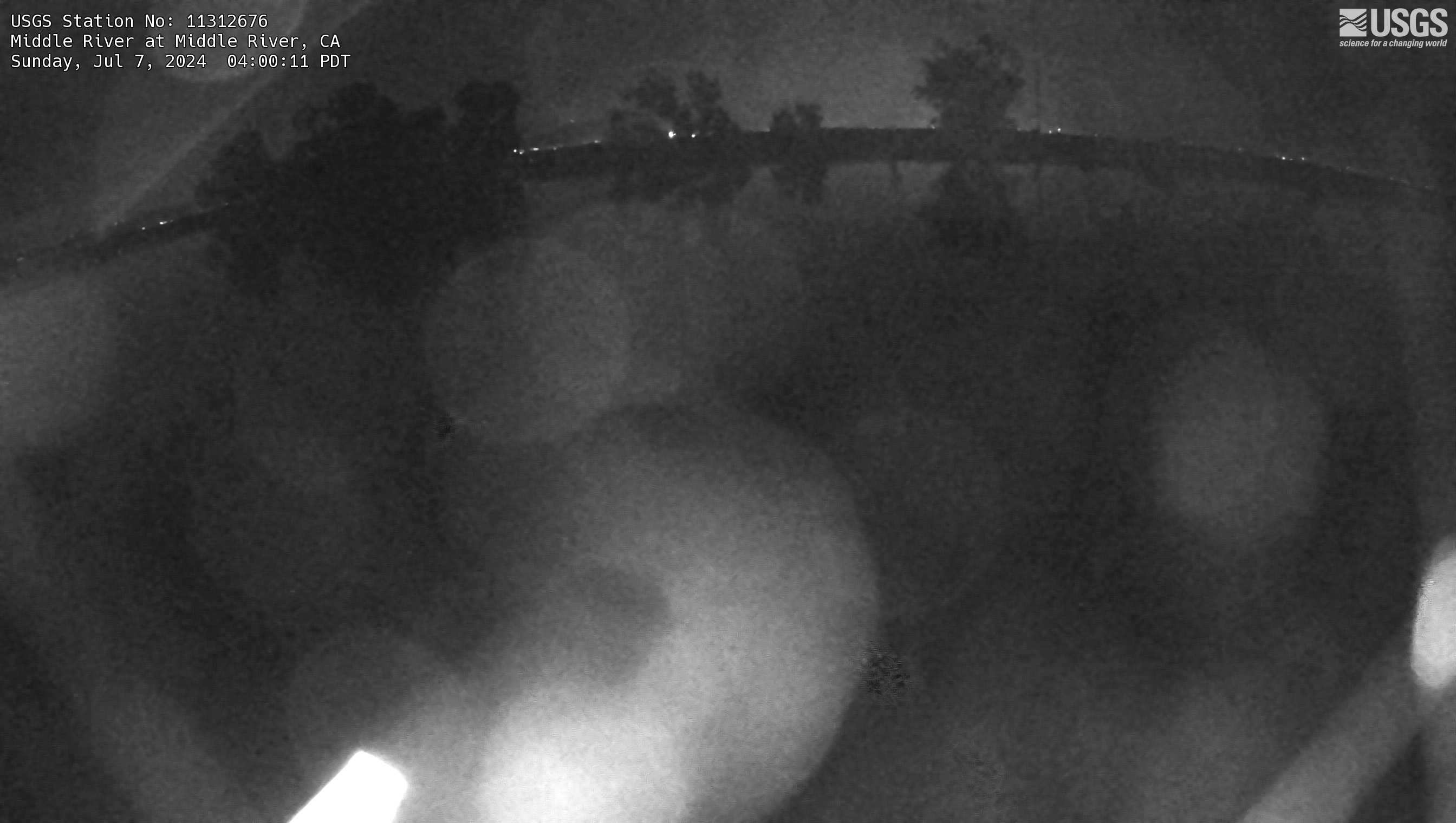
Middle River at Middle River Webcam
The name of this webcam is Middle River at Middle River. It is located at Middle River, CA. The timelapse length is 10 seconds (100 images) and the collection interval is every 15 minutes.
The name of this webcam is Middle River at Middle River. It is located at Middle River, CA. The timelapse length is 10 seconds (100 images) and the collection interval is every 15 minutes.
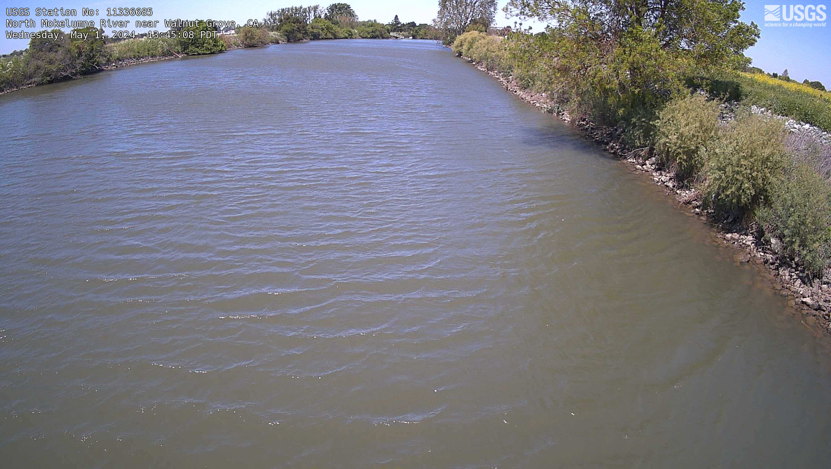
North Mokelumne River near Walnut Grove Webcam
The name of this camera is North Mokelumne River near Walnut Grove. It is located near Walnut Grove, CA. The timelapse length is 10 seconds (100 images) and the collection interval is every 15 minutes.
The name of this camera is North Mokelumne River near Walnut Grove. It is located near Walnut Grove, CA. The timelapse length is 10 seconds (100 images) and the collection interval is every 15 minutes.
Dutch Slough below Jersey Island Road at Jersey Island Webcam
The name of this webcam is Dutch Slough below Jersey Island Road at Jersey Island. It is located at Jersey Island, CA. The timelapse length is 10 seconds (100 images) and the collection interval is every 15 minutes.
The name of this webcam is Dutch Slough below Jersey Island Road at Jersey Island. It is located at Jersey Island, CA. The timelapse length is 10 seconds (100 images) and the collection interval is every 15 minutes.
Old River at Quimby Island near Bethel Webcam
The name of this webcam is Old River at Quimby Island near Bethel. It is located near Bethel, CA. The timelapse length is 10 seconds (100 images) and the collection interval is every 15 minutes.
The name of this webcam is Old River at Quimby Island near Bethel. It is located near Bethel, CA. The timelapse length is 10 seconds (100 images) and the collection interval is every 15 minutes.
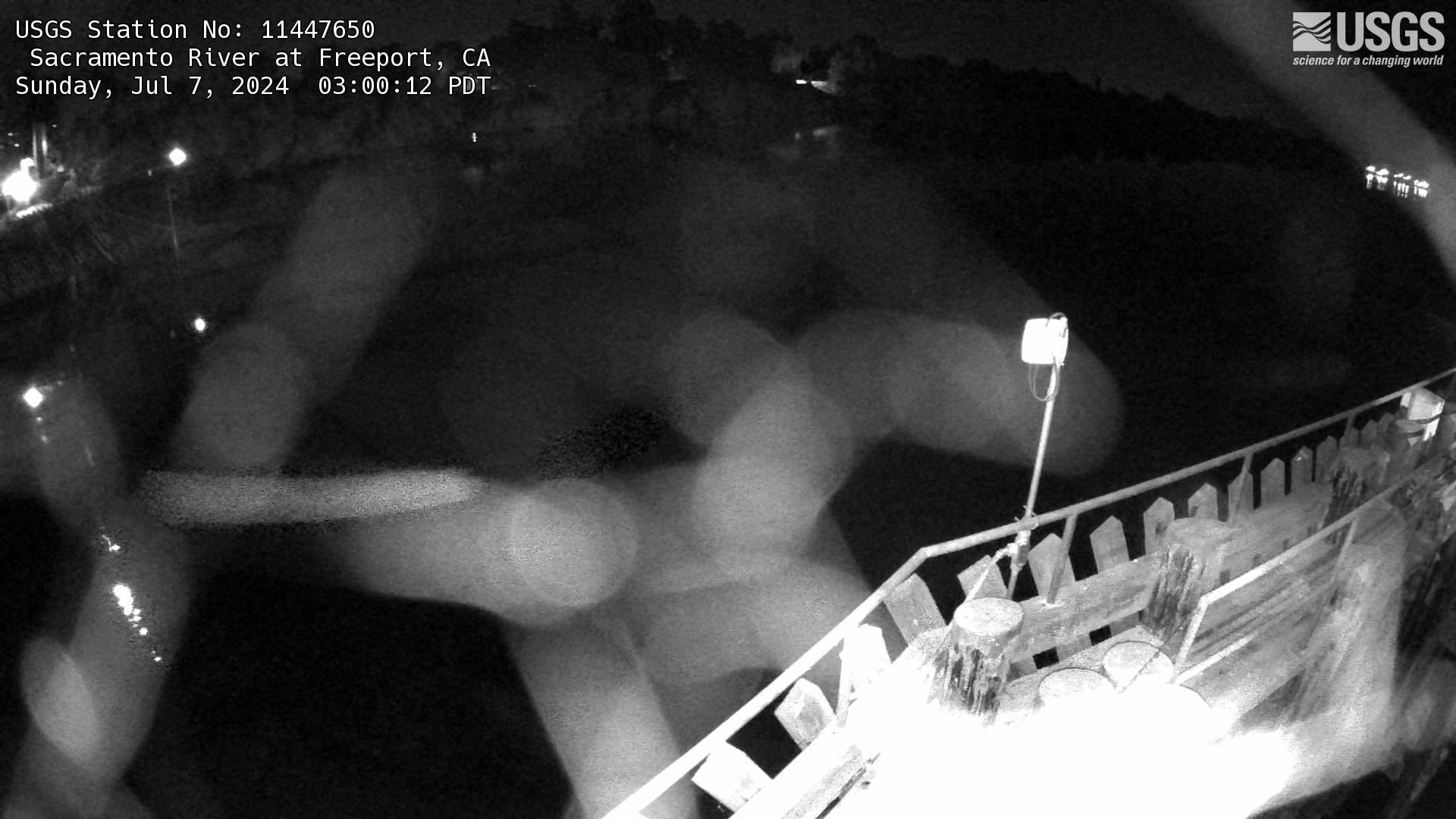
Sacramento River at Freeport Webcam
The name of this webcam is Sacramento River at Freeport. It is located at Freeport, CA. The timelapse length is 10 seconds (100 images) and the collection interval is every 60 minutes.
The name of this webcam is Sacramento River at Freeport. It is located at Freeport, CA. The timelapse length is 10 seconds (100 images) and the collection interval is every 60 minutes.