
The name of this webcam is KLAMATH R NR KLAMATH CA. It is located near Klamath, CA. The timelapse length is 10 seconds (100 images) and the collection interval is every 15 minutes.
Webcams
Webcams have been installed at several real-time streamgaging sites. The webcams provide valuable information to the National Weather Service, emergency managers, and area residents to evaluate real-time conditions in river environments during storms. The visual record of flooding and other river events also provides valuable research data for the USGS.
Filter Total Items: 25

KLAMATH R NR KLAMATH CA Webcam
The name of this webcam is KLAMATH R NR KLAMATH CA. It is located near Klamath, CA. The timelapse length is 10 seconds (100 images) and the collection interval is every 15 minutes.
Middle River at Middle River Webcam
The name of this webcam is Middle River at Middle River. It is located at Middle River, CA. The timelapse length is 10 seconds (100 images) and the collection interval is every 15 minutes.
The name of this webcam is Middle River at Middle River. It is located at Middle River, CA. The timelapse length is 10 seconds (100 images) and the collection interval is every 15 minutes.
North Mokelumne River near Walnut Grove Webcam
The name of this camera is North Mokelumne River near Walnut Grove. It is located near Walnut Grove, CA. The timelapse length is 10 seconds (100 images) and the collection interval is every 15 minutes.
The name of this camera is North Mokelumne River near Walnut Grove. It is located near Walnut Grove, CA. The timelapse length is 10 seconds (100 images) and the collection interval is every 15 minutes.
Dutch Slough below Jersey Island Road at Jersey Island Webcam
The name of this webcam is Dutch Slough below Jersey Island Road at Jersey Island. It is located at Jersey Island, CA. The timelapse length is 10 seconds (100 images) and the collection interval is every 15 minutes.
The name of this webcam is Dutch Slough below Jersey Island Road at Jersey Island. It is located at Jersey Island, CA. The timelapse length is 10 seconds (100 images) and the collection interval is every 15 minutes.
Old River at Quimby Island near Bethel Webcam
The name of this webcam is Old River at Quimby Island near Bethel. It is located near Bethel, CA. The timelapse length is 10 seconds (100 images) and the collection interval is every 15 minutes.
The name of this webcam is Old River at Quimby Island near Bethel. It is located near Bethel, CA. The timelapse length is 10 seconds (100 images) and the collection interval is every 15 minutes.
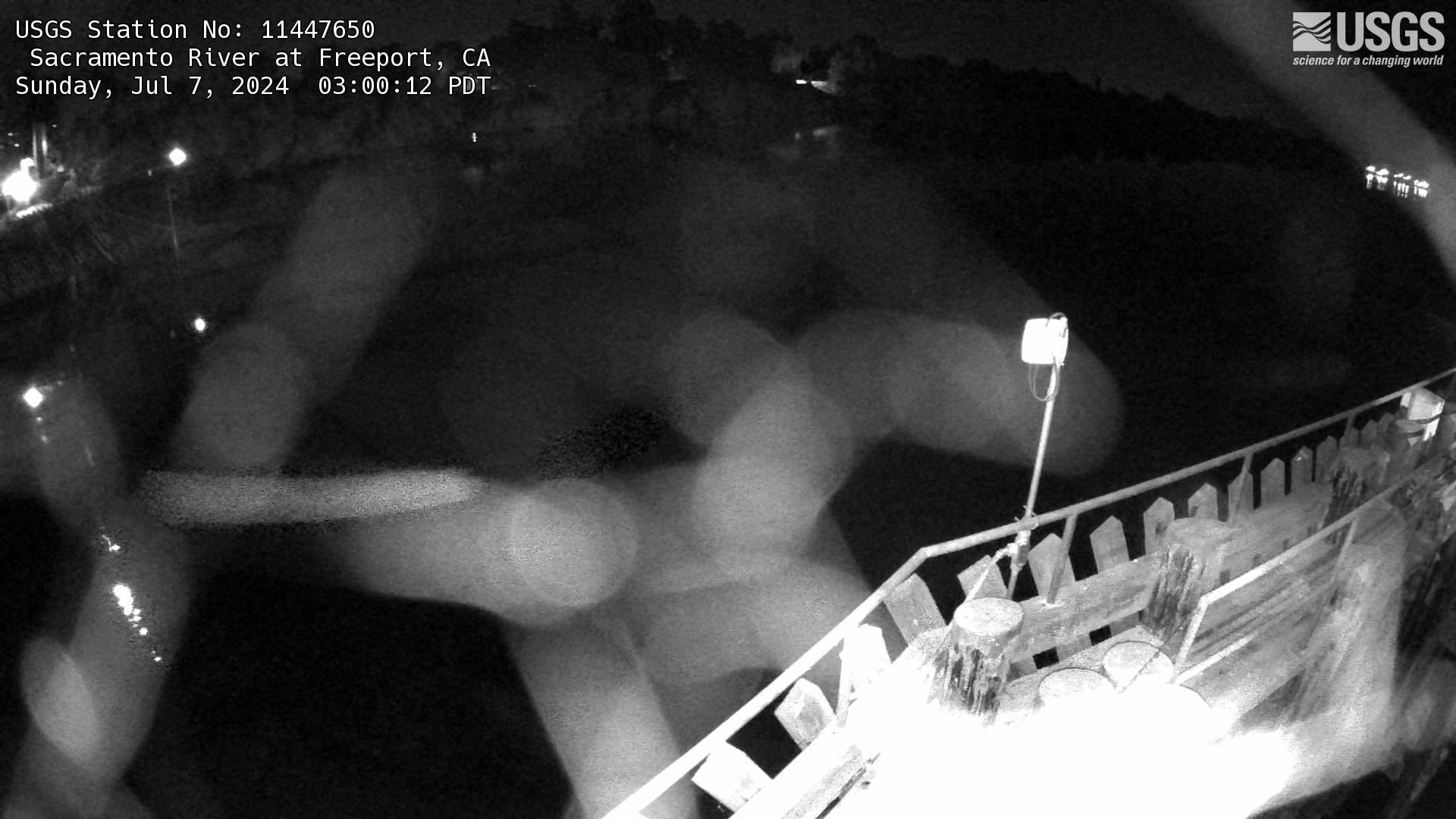
Sacramento River at Freeport Webcam
The name of this webcam is Sacramento River at Freeport. It is located at Freeport, CA. The timelapse length is 10 seconds (100 images) and the collection interval is every 60 minutes.
The name of this webcam is Sacramento River at Freeport. It is located at Freeport, CA. The timelapse length is 10 seconds (100 images) and the collection interval is every 60 minutes.
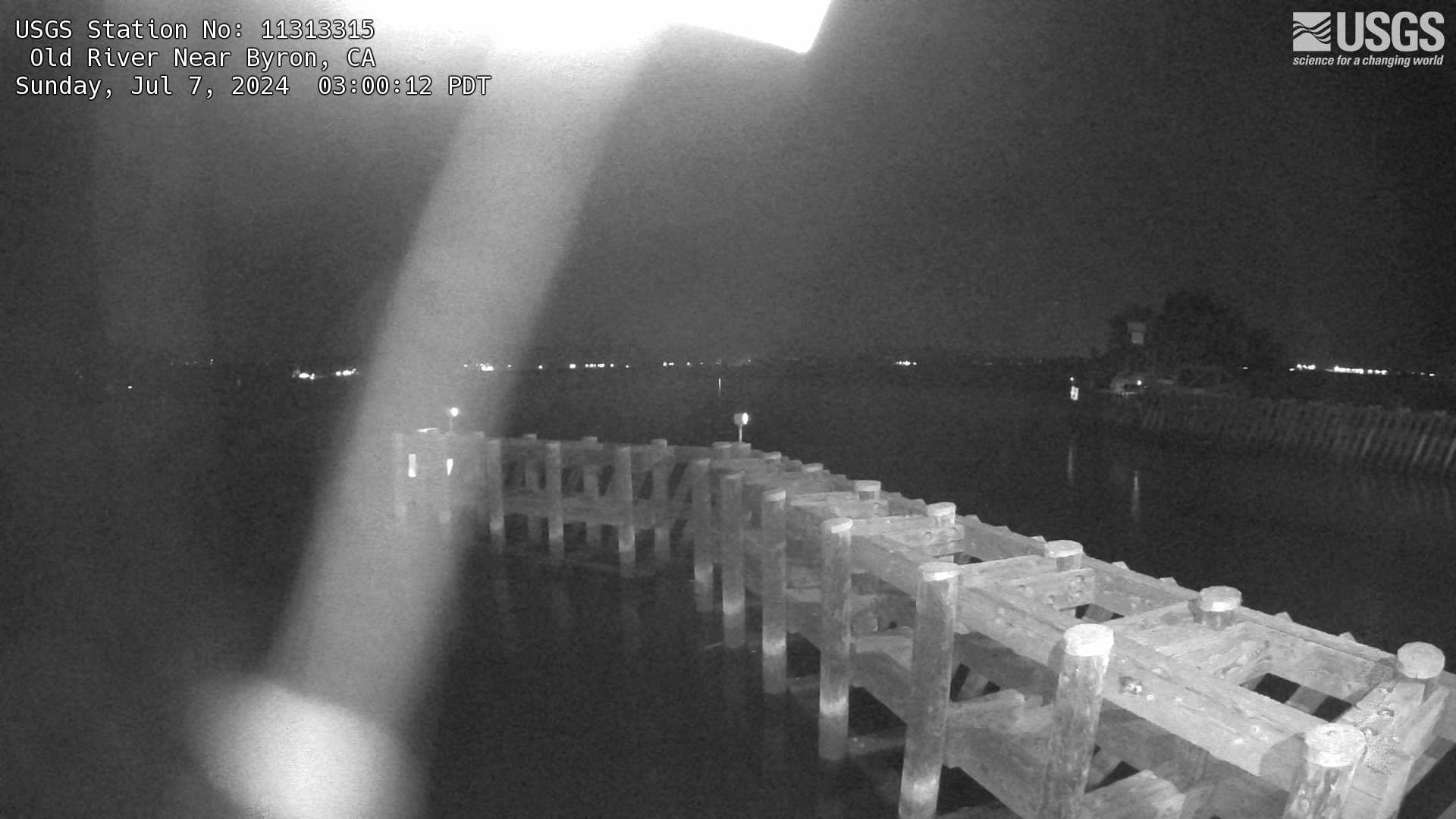
Old River Near Byron Webcam
The name of this camera is Old River Near Byron. It is located near Byron, CA. The timelapse length is 10 seconds (100 images) and the collection interval is every 60 minutes.
The name of this camera is Old River Near Byron. It is located near Byron, CA. The timelapse length is 10 seconds (100 images) and the collection interval is every 60 minutes.
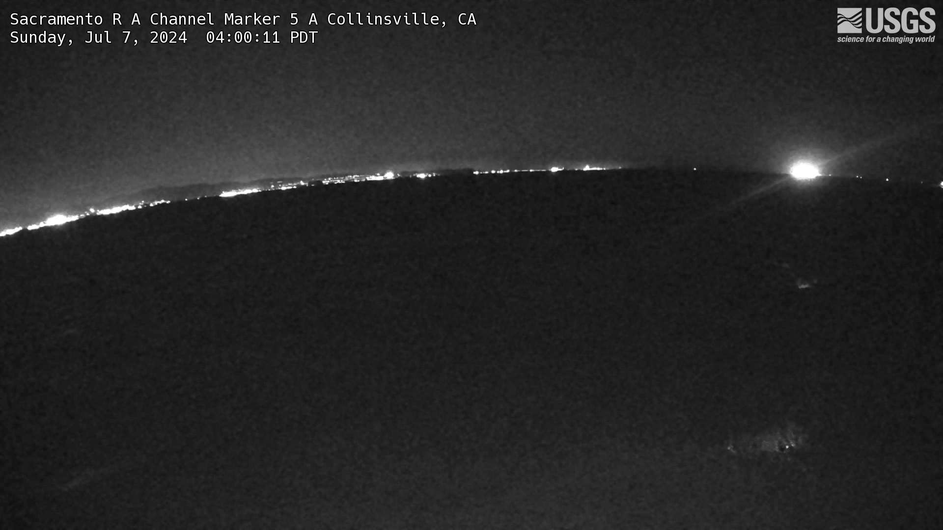
Sacramento R A Channel Marker 5 A Collinsville Webcam
The name of this camera is Sacramento R A Channel Marker 5 A Collinsville. It is located in Collinsville, CA. The timelapse length is 10 seconds (100 images) and the collection interval is every 15 minutes.
The name of this camera is Sacramento R A Channel Marker 5 A Collinsville. It is located in Collinsville, CA. The timelapse length is 10 seconds (100 images) and the collection interval is every 15 minutes.
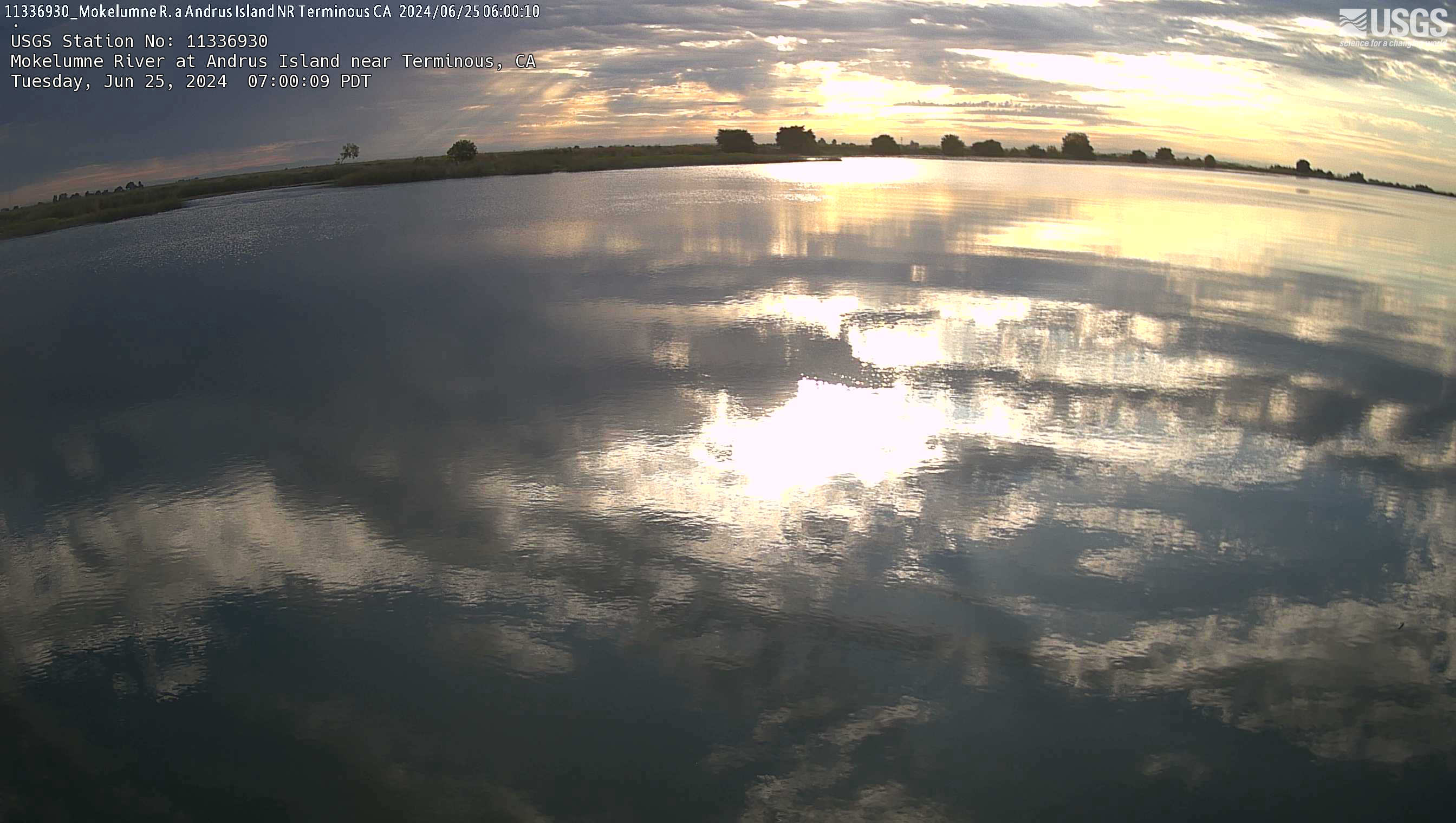
Mokelumne River at Andrus Island near Terminous Webcam
The name of this webcam is Mokelumne River at Andrus Island near Terminous. It is located near Terminous, CA. The timelapse length is 10 seconds (100 images) and the collection interval is every 15 minutes.
The name of this webcam is Mokelumne River at Andrus Island near Terminous. It is located near Terminous, CA. The timelapse length is 10 seconds (100 images) and the collection interval is every 15 minutes.
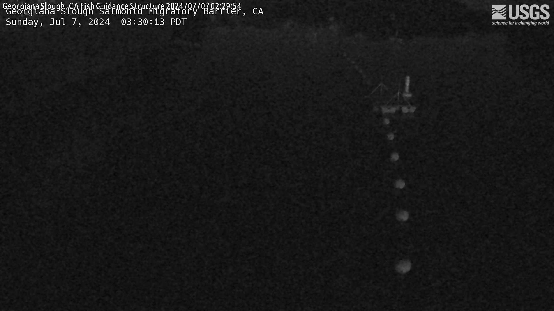
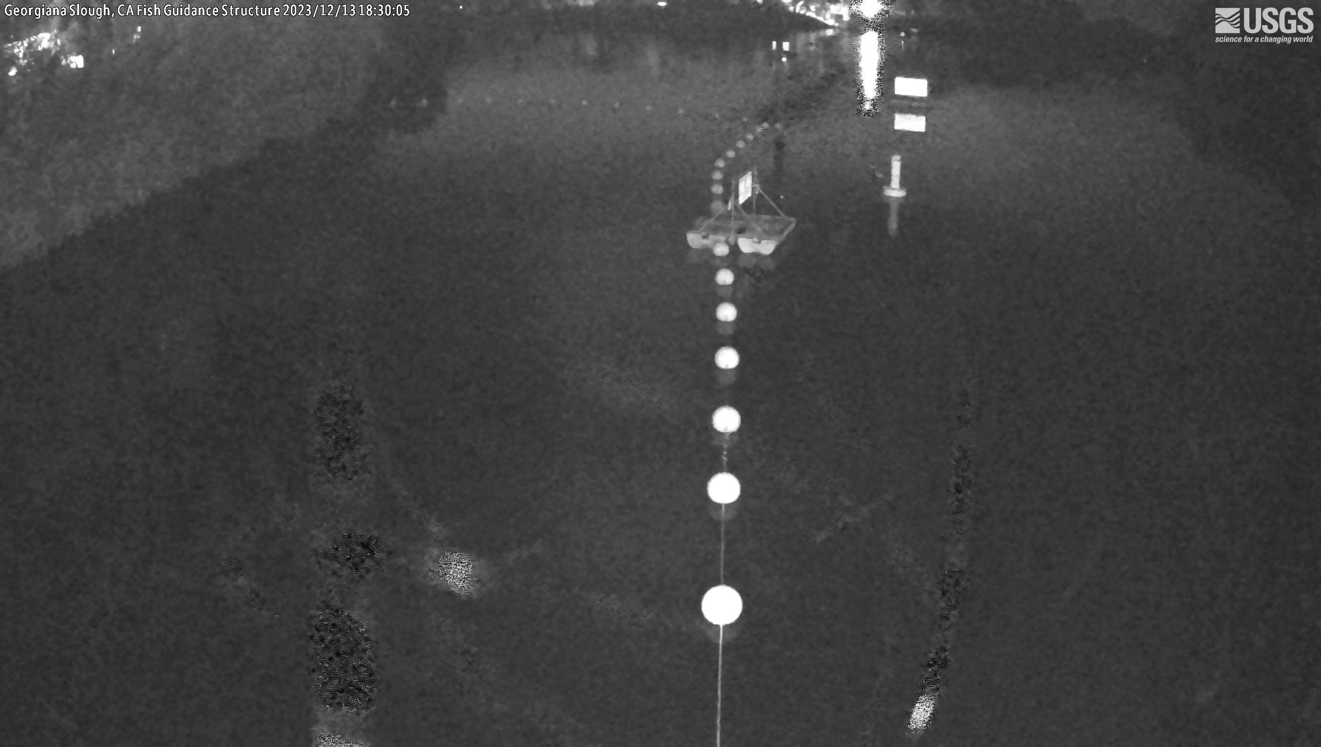
Georgiana Slough Salmonid Migratory Barrier
The name of this webcam is Georgiana Slough Salmonid Migratory Barrier. It is located near Walnut Grove, CA. Its timelapse length is 10 seconds (100 images) and the collection interval is every 15 minutes.
The name of this webcam is Georgiana Slough Salmonid Migratory Barrier. It is located near Walnut Grove, CA. Its timelapse length is 10 seconds (100 images) and the collection interval is every 15 minutes.
Cache Slough at South Liberty Island near Rio Vista Webcam
The name of the webcam is Cache Slough at South Liberty Island near Rio Vista. It is located at South Liberty Island, CA. The timelapse length is 10 seconds (100 images) and the collection interval is every 15 minutes.
The name of the webcam is Cache Slough at South Liberty Island near Rio Vista. It is located at South Liberty Island, CA. The timelapse length is 10 seconds (100 images) and the collection interval is every 15 minutes.
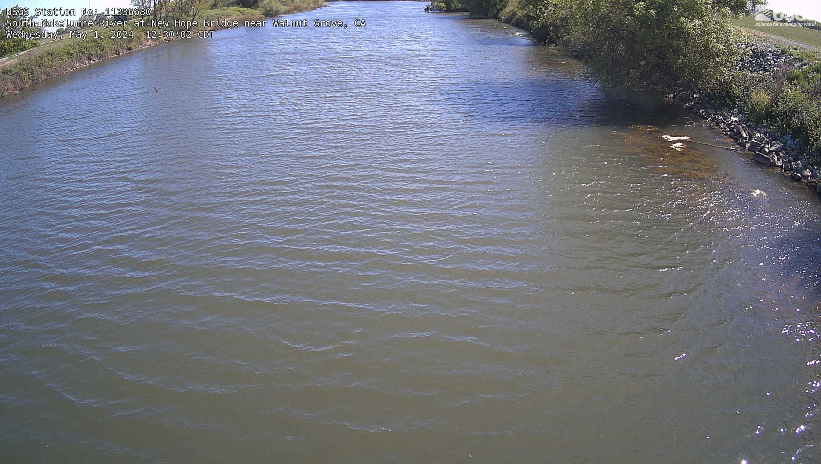
South Mokelumne River at New Hope Bridge near Walnut Grove Webcam
The name of the webcam is South Mokelumne River at New Hope Bridge near Walnut Grove. It is located near Walnut Grove, CA. The timelapse length is 10 seconds (100 images) and the collection interval is every 15 minutes.
The name of the webcam is South Mokelumne River at New Hope Bridge near Walnut Grove. It is located near Walnut Grove, CA. The timelapse length is 10 seconds (100 images) and the collection interval is every 15 minutes.
Old River at Bacon Island Webcam
The name of this webcam is Old River at Bacon Island. It is located at Bacon Island, CA. Its timelapse length is 10 seconds (100 images) and the collection interval is every 15 minutes.
The name of this webcam is Old River at Bacon Island. It is located at Bacon Island, CA. Its timelapse length is 10 seconds (100 images) and the collection interval is every 15 minutes.
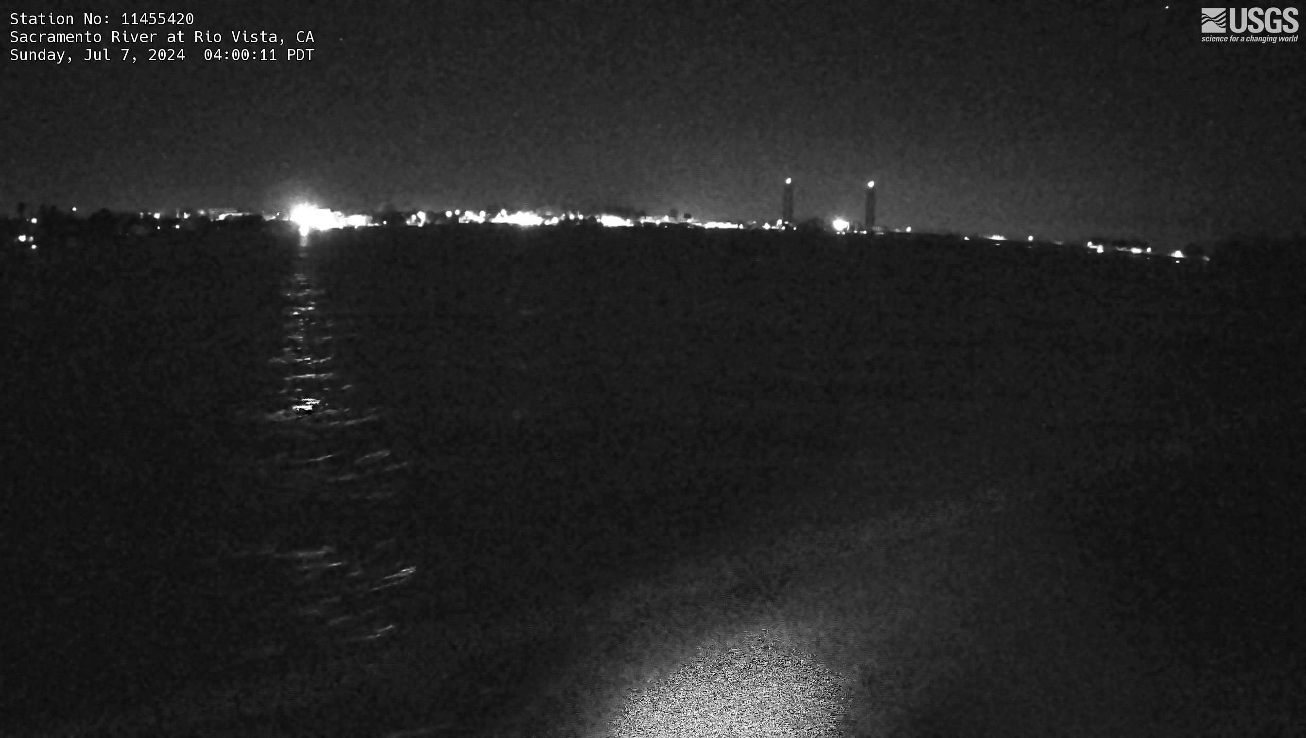
Sacramento River at Rio Vista Webcam
The name of this webcam is Sacramento River at Rio Vista. It is located at the Sacramento River at Rio Vista, CA. Its timelapse length is 10 seconds (100 images) and the collection interval is every 15 minutes.
The name of this webcam is Sacramento River at Rio Vista. It is located at the Sacramento River at Rio Vista, CA. Its timelapse length is 10 seconds (100 images) and the collection interval is every 15 minutes.
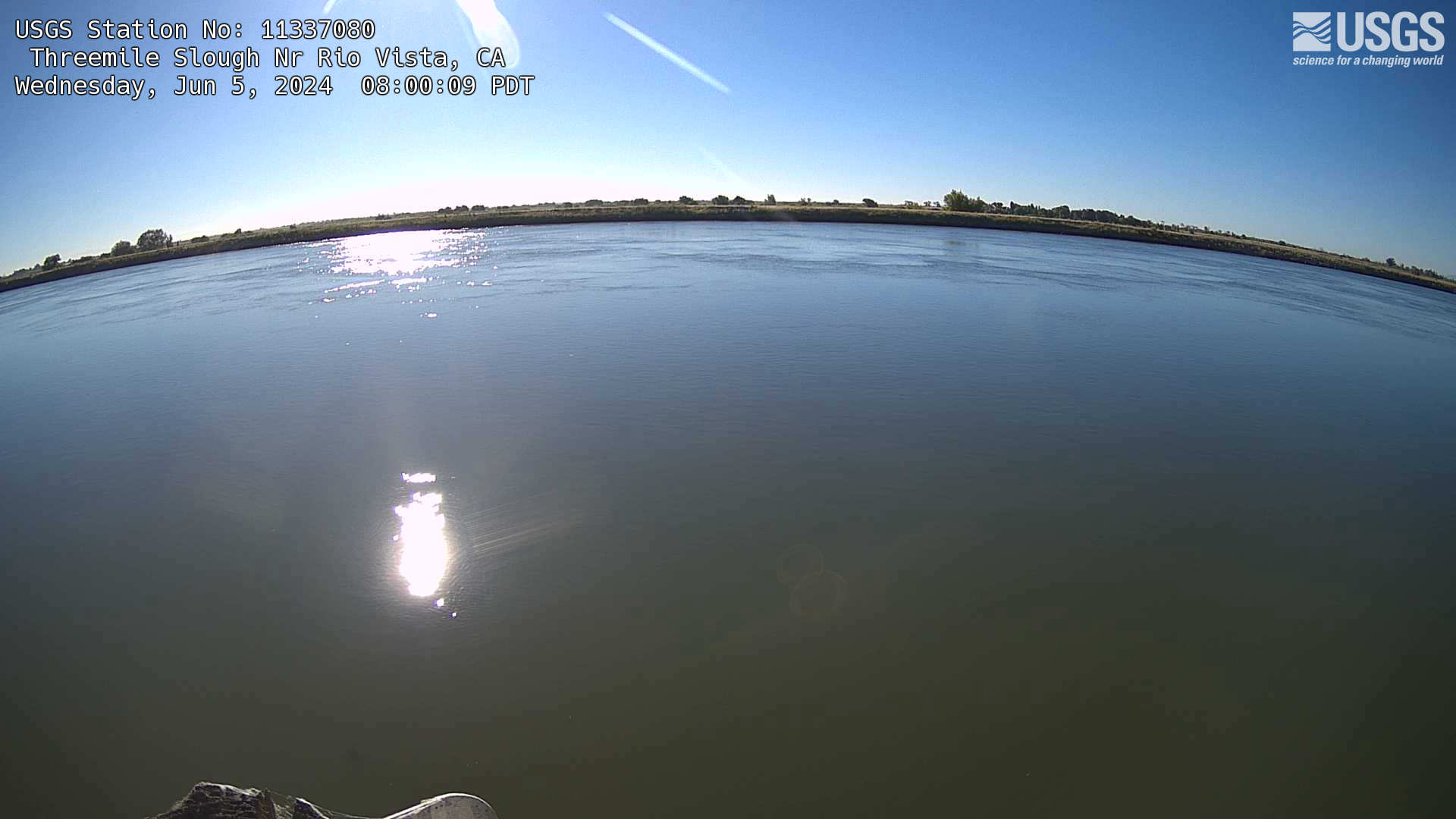
Threemile Slough Nr Rio Vista Webcam
Webcam is named Threemile Slough Nr Rio Vista. It is located in Rio Vista, California. Its timelapse length is 10 seconds (100 images) and the collection interval is every 60 minutes.
Webcam is named Threemile Slough Nr Rio Vista. It is located in Rio Vista, California. Its timelapse length is 10 seconds (100 images) and the collection interval is every 60 minutes.
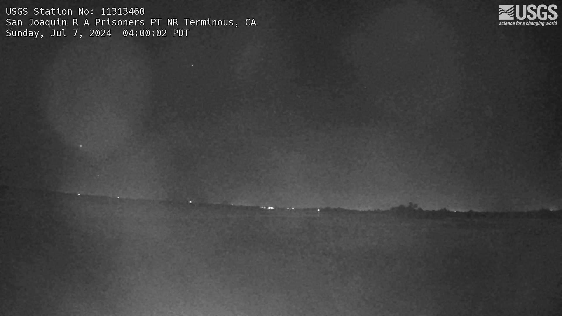
San Joaquin R A Prisoners PT NR Terminous Webcam
This is a live webcam at San Joaquin R A Prisoners PT NR Terminous, CA. It is USGS Station number 1131460. Timelapse length is 10 seconds (100 images) and the collection interval is every 60 minutes.
This is a live webcam at San Joaquin R A Prisoners PT NR Terminous, CA. It is USGS Station number 1131460. Timelapse length is 10 seconds (100 images) and the collection interval is every 60 minutes.
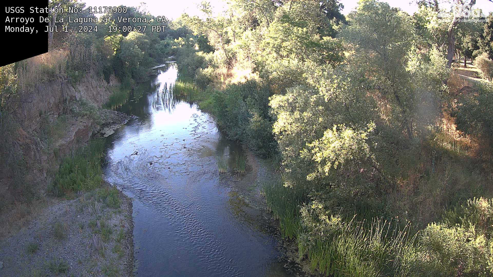
Arroyo De La Laguna at Verona, CA Webcam
This is a webcam of Arroyo De La Laguna at Verona, CA. This webpage includes a timeline of the snapshots of the location at various timestamps.
This is a webcam of Arroyo De La Laguna at Verona, CA. This webpage includes a timeline of the snapshots of the location at various timestamps.
Webcam Santa Ana River at Prado - Currently Under Maintenance
This live webcam is currently undergoing maintenance and will be back up and running in mid-August.
This live webcam is currently undergoing maintenance and will be back up and running in mid-August.
Suisun Bay at Channel Marker 24A near Bay Point
A wide-angle view overlooking Suisun Bay at Channel Marker 24A near Bay Point, California.
A wide-angle view overlooking Suisun Bay at Channel Marker 24A near Bay Point, California.

Truckee River at Boca Bridge near Truckee, CA
This webcam is situated with streamgage 10344505 in Nevada County, CA. This station provides continuous monitoring of flow and stage. To see the streamgage data, please visit https://waterdata.usgs.gov/monitoring-location/10344505/.
This webcam is situated with streamgage 10344505 in Nevada County, CA. This station provides continuous monitoring of flow and stage. To see the streamgage data, please visit https://waterdata.usgs.gov/monitoring-location/10344505/.

Suisan Bay near Bay Point, CA
This webcam is located at monitoring station 380318121571501 (SUISUN BAY A CHANNEL MARKER 24A NR BAY POINT CA) in the Sacramento-San Joaquin Delta. The site collects water quality parameters such as salinity, specific conductance, temperature, and turbidity, as well as water velocity measurements.
This webcam is located at monitoring station 380318121571501 (SUISUN BAY A CHANNEL MARKER 24A NR BAY POINT CA) in the Sacramento-San Joaquin Delta. The site collects water quality parameters such as salinity, specific conductance, temperature, and turbidity, as well as water velocity measurements.