
This image is from a temporary thermal camera located on the south rim of Halemaʻumaʻu and looking steeply toward the north at the active Halemaʻumaʻu vent.
Webcams
Volcano Hazard Program webcams.
Filter Total Items: 37
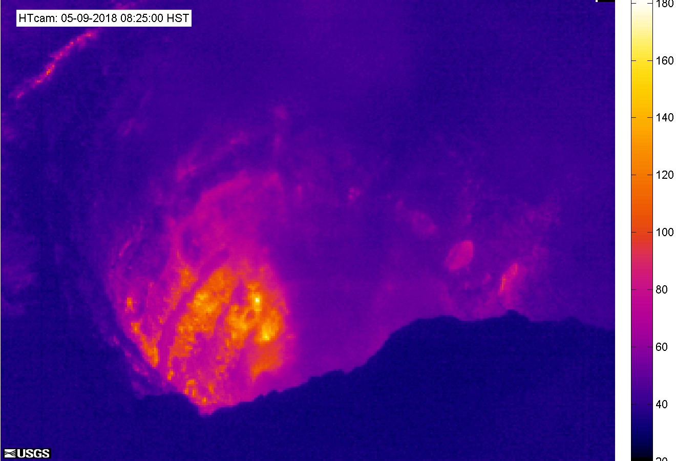
[HTcam] Halemaʻumaʻu Overlook Vent Thermal from Halemaʻumaʻu Overlook
This image is from a temporary thermal camera located on the south rim of Halemaʻumaʻu and looking steeply toward the north at the active Halemaʻumaʻu vent.
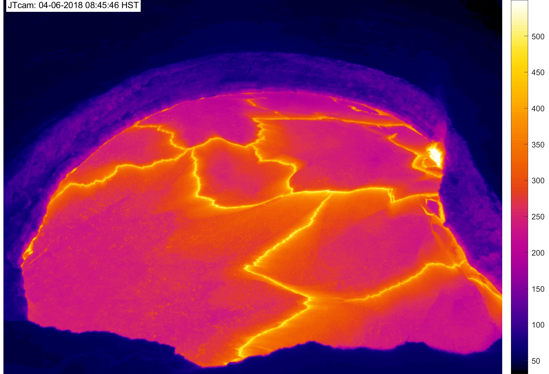
[JTcam] Halemaʻumaʻu Overlook Vent Thermal HD at Halemaʻumaʻu Overlook
This image is from a temporary thermal camera. The temperature scale is in degrees Celsius up to a maximum of 500 Celsius (932 Fahrenheit) for this camera model, and scales based on the maximum and minimum temperatures within the frame.
This image is from a temporary thermal camera. The temperature scale is in degrees Celsius up to a maximum of 500 Celsius (932 Fahrenheit) for this camera model, and scales based on the maximum and minimum temperatures within the frame.

[PEcam] Puʻu ʻŌʻō East Flank from East of Puʻu ʻŌʻō
This image is from a temporary research camera positioned northeast of Puʻu ʻŌʻō, on Puʻu Halulu, looking southwest toward the northeast flank of Puʻu ʻŌʻō.
Disclaimer
This image is from a temporary research camera positioned northeast of Puʻu ʻŌʻō, on Puʻu Halulu, looking southwest toward the northeast flank of Puʻu ʻŌʻō.
Disclaimer
[K2cam] Live Image of Kaluapele (Kīlauea caldera) from Uēkahuna bluff
This image is from a research camera on the bluff at Uēkahuna, overlooking the summit caldera of Kīlauea. This camera is a pan-tilt-zoom model and the view may change depending on activity.
Disclaimer
This image is from a research camera on the bluff at Uēkahuna, overlooking the summit caldera of Kīlauea. This camera is a pan-tilt-zoom model and the view may change depending on activity.
Disclaimer
Okmok OKIF
View of the webcam from Okmok OKIF from the AVO. Read more details about Okmok volcano.
View of the webcam from Okmok OKIF from the AVO. Read more details about Okmok volcano.
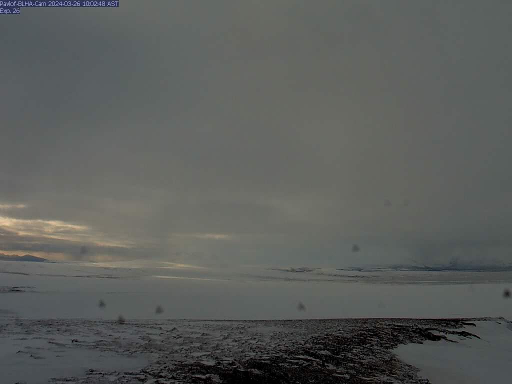
Pavlof - BLHA
There is a known issue with the timestamp on images from this camera: they are an hour ahead. AVO is working on a solution for this problem. This camera is co-located with seismic station BLHA, and looks southwest to Pavlof. Read more about Pavlof volcano.
There is a known issue with the timestamp on images from this camera: they are an hour ahead. AVO is working on a solution for this problem. This camera is co-located with seismic station BLHA, and looks southwest to Pavlof. Read more about Pavlof volcano.
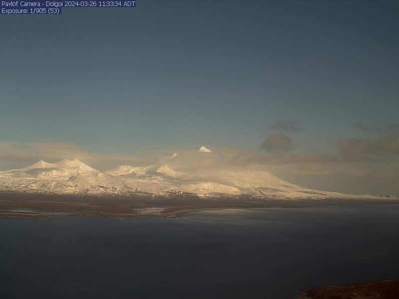
Pavlof - DOL
The Pavlof team (Ketner/Wech/Wellik) activated a new camera at station DOL on Tuesday (July 4). This camera looks north and provides good coverage of the volcanic complex in this region. Read more about Pavlof volcano.
The Pavlof team (Ketner/Wech/Wellik) activated a new camera at station DOL on Tuesday (July 4). This camera looks north and provides good coverage of the volcanic complex in this region. Read more about Pavlof volcano.

Redoubt - RDDF
Camera is located at AVO's Redoubt Hut, approximately 7.5 mi (12 km) from Redoubt's summit crater. This camera provides a view of the north flank of Redoubt. This camera is in a remote location and operates on battery power. We will set this camera to power on as much as batteries allow. Redoubt summit is approximately 10,200 ft above sea level.
Camera is located at AVO's Redoubt Hut, approximately 7.5 mi (12 km) from Redoubt's summit crater. This camera provides a view of the north flank of Redoubt. This camera is in a remote location and operates on battery power. We will set this camera to power on as much as batteries allow. Redoubt summit is approximately 10,200 ft above sea level.

Makushin Volcano [MREP]
This camera is located at MREP, on the southeast flank of Makushin, and looks northwest towards Makushin's summit. Read more about Makushin volcano.
This camera is located at MREP, on the southeast flank of Makushin, and looks northwest towards Makushin's summit. Read more about Makushin volcano.
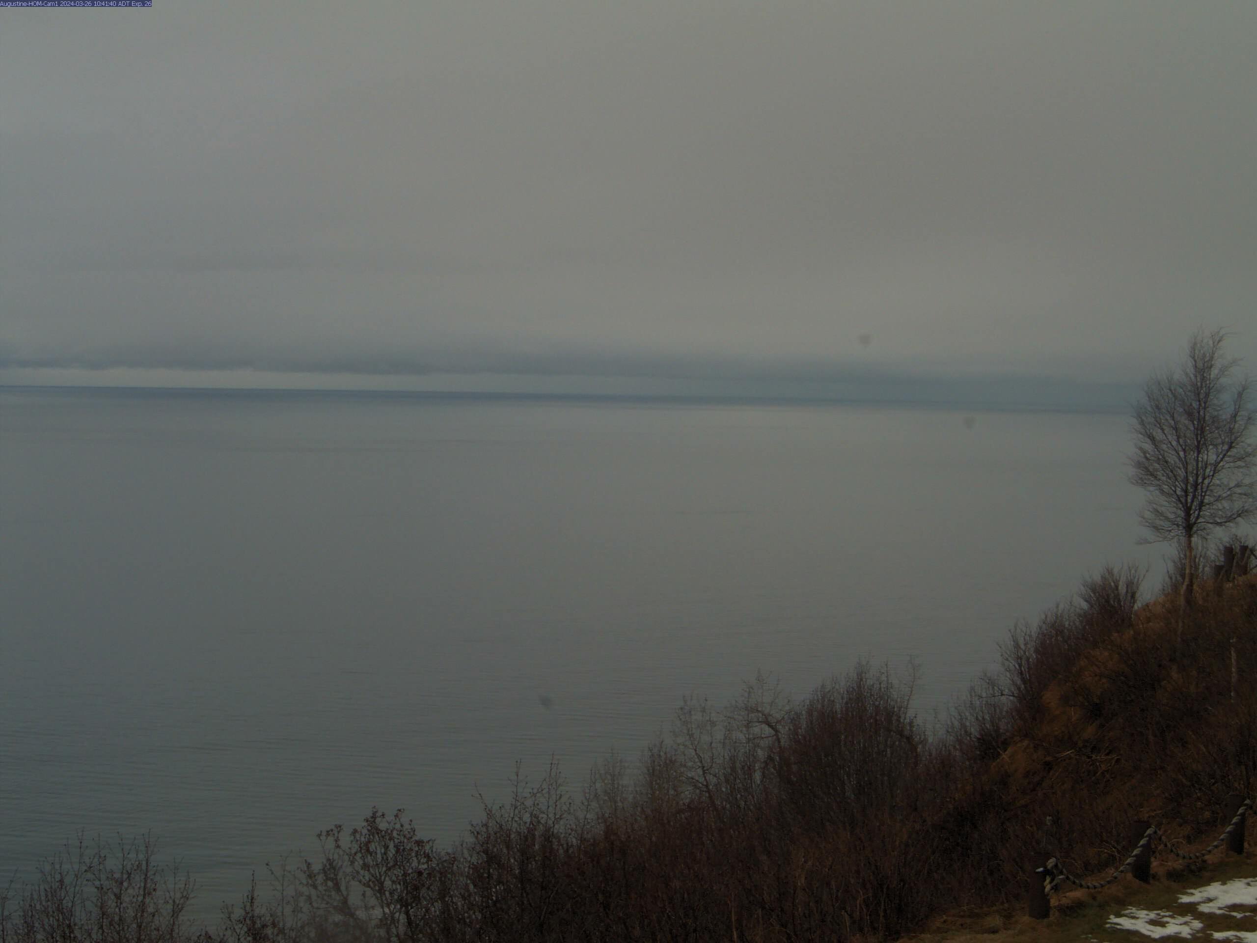
Augustine - Homer
The webcam is located in Homer, AK, approximately 120KM (75MI) north-east of Augustine volcano. Image interval is currently 5 minutes. Read more details about Augustine volcano.
The webcam is located in Homer, AK, approximately 120KM (75MI) north-east of Augustine volcano. Image interval is currently 5 minutes. Read more details about Augustine volcano.
Augustine Mound
The Augustine island webcam has been replaced with a new camera, and is now functioning. Read more details about Augustine volcano.
The Augustine island webcam has been replaced with a new camera, and is now functioning. Read more details about Augustine volcano.
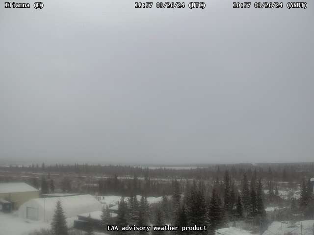
Iliamna East
View of the webcam from of Iliamna East from AVO. Read more about Iliamna volcano.
View of the webcam from of Iliamna East from AVO. Read more about Iliamna volcano.

Iliamna IVE
Camera is co-located with seismic station IVE 2.7 miles (3.5 km) to the east south-east of Iliamna. Read more about Iliamna volcano.
Camera is co-located with seismic station IVE 2.7 miles (3.5 km) to the east south-east of Iliamna. Read more about Iliamna volcano.
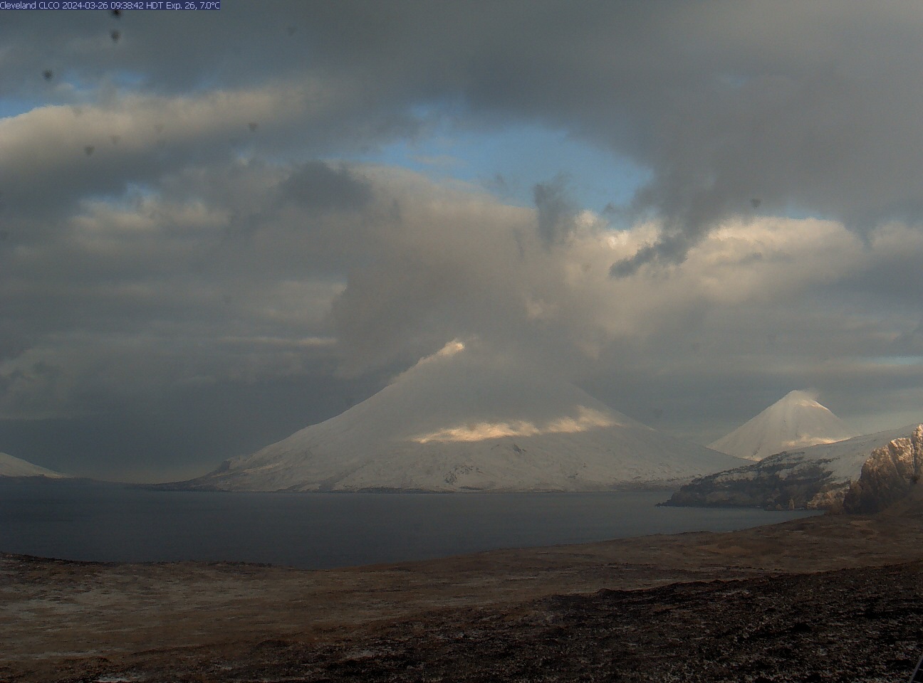
Cleveland [CLCO]
This camera is located near Concord Point, Chuginadak Island, and looks west-northwest to Cleveland in the mid-center. On nice days, Carlisle is visible to the far right, beyond Cleveland. The slopes of Tana are in the near-right. To conserve battery power, this camera intermittently captures images.
This camera is located near Concord Point, Chuginadak Island, and looks west-northwest to Cleveland in the mid-center. On nice days, Carlisle is visible to the far right, beyond Cleveland. The slopes of Tana are in the near-right. To conserve battery power, this camera intermittently captures images.

Kanaga Volcano [KIMD]
View of the webcam of Kanaga from Adak from the AVO. Read more about Kanaga volcano.
View of the webcam of Kanaga from Adak from the AVO. Read more about Kanaga volcano.
Akutan AKSD
View from webcam of Akutan [AV06, 1519 ft] by the Alaska Volcano Observatory. Read details on Akutan Volcano.
View from webcam of Akutan [AV06, 1519 ft] by the Alaska Volcano Observatory. Read details on Akutan Volcano.