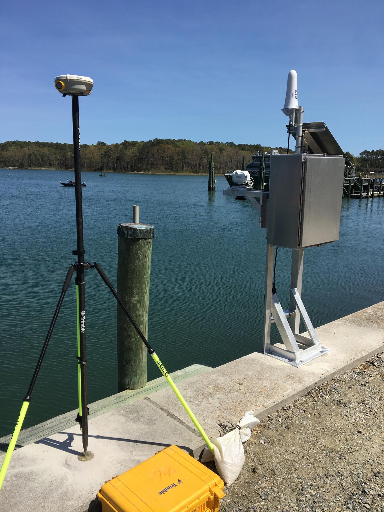
Hampton Roads Benchmark Monitoring: Occupying Benchmark
By Virginia and West Virginia Water Science Center
2017 (approx.)
Detailed Description
Occupying a surveying benchmark in Hampton Roads. Part of the Hampton Roads Benchmark Monitoring Network.
Sources/Usage
Public Domain.
Related
Hampton Roads Benchmark Monitoring Network
The southern Chesapeake Bay region is experiencing land subsidence along with rising sea levels, both of which can contribute to coastal flooding. The rates at which these two processes are occurring are not exactly known. Mapping of land elevation change requires ground-truth survey data at multiple locations that are accurate and precise. With the exception of a few CORS sites that have...
Vertical Land Motion Global Navigation Satellite System (GNSS) Campaigns, Southeast Virginia (ver. 2.0, December 2022)
This data release is a compilation of annual Global Navigation Satellite System (GNSS) surveys of a network of 26 vertical control points (benchmarks) in the Hampton Roads region of southeastern Virginia. Surveys are conducted annually during the winter and are structured to collect a minimum of 24-hours of position data when possible, at an interval of 30-seconds or less at each...
Hampton Roads Benchmark Monitoring Network
Hampton Roads Benchmark Monitoring Network

GPS tripod used in geodedic surveys of eastern Virginia

Hampton Roads Benchmark Monitoring: Occupying a Benchmark

Hampton Roads Benchmark Monitoring: Occupying Benchmark
Related
Hampton Roads Benchmark Monitoring Network
The southern Chesapeake Bay region is experiencing land subsidence along with rising sea levels, both of which can contribute to coastal flooding. The rates at which these two processes are occurring are not exactly known. Mapping of land elevation change requires ground-truth survey data at multiple locations that are accurate and precise. With the exception of a few CORS sites that have...
Vertical Land Motion Global Navigation Satellite System (GNSS) Campaigns, Southeast Virginia (ver. 2.0, December 2022)
This data release is a compilation of annual Global Navigation Satellite System (GNSS) surveys of a network of 26 vertical control points (benchmarks) in the Hampton Roads region of southeastern Virginia. Surveys are conducted annually during the winter and are structured to collect a minimum of 24-hours of position data when possible, at an interval of 30-seconds or less at each...
Hampton Roads Benchmark Monitoring Network
Hampton Roads Benchmark Monitoring Network

GPS tripod used in geodedic surveys of eastern Virginia

Hampton Roads Benchmark Monitoring: Occupying a Benchmark

Hampton Roads Benchmark Monitoring: Occupying Benchmark


